
Sign updated at staging area
Posted: January 29, 2015 Filed under: Access, Maintenance, Travel | Tags: education, El Dorado County, FOTR, Placer, RTF, Rubicon Leave a commentAs was the subject of the last “Photo of the month”, the sign at the McKinney-Rubicon Springs Road has been in the need of attention for some time.
Recently, some new material was installed along with a new piece of backing plywood and a new plexi-glass cover. Additionally, the broken map box was replaced and stocked with both the RTF Rubicon Trail map and the new Rubicon Area OHV Trails map and flier. The map was covered in my last post.
Here is the new signage in all it’s glory:
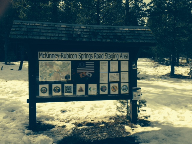
The RTF map is on the left.
The agencies involved with the trail are represented across the bottom: Placer County, El Dorado County, US Forest Service, CA State Parks OHV, Friends of the Rubicon, Rubicon Trail Foundation, CA Association of Four Wheel Drive Clubs, and the Blue Ribbon Coalition.
Towards the right is some educational information including ham radio frequencies, contact information for the agencies involved, how to volunteer, driving cautions and a copy of the new tri-MVUM map.
A close up of the new map box now housing the RTF Rubicon Trail map and the new tri-MVUM of Rubicon Area OHV trails:

This was a private effort. Hopefully, in the future, the agencies listed on the sign will get together with the users to decide what more signage and information is needed at the staging area and along the trail.
UPDATE 2-20-15:
The LTBMU visited the staging area and decided that the sign needed a few changes. Here is a photo of the current sign. I’m working on getting FOTR to join the party and hopefully, together, we can all get the information on the sign to reflect what the users need to travel safely and enjoy the area.
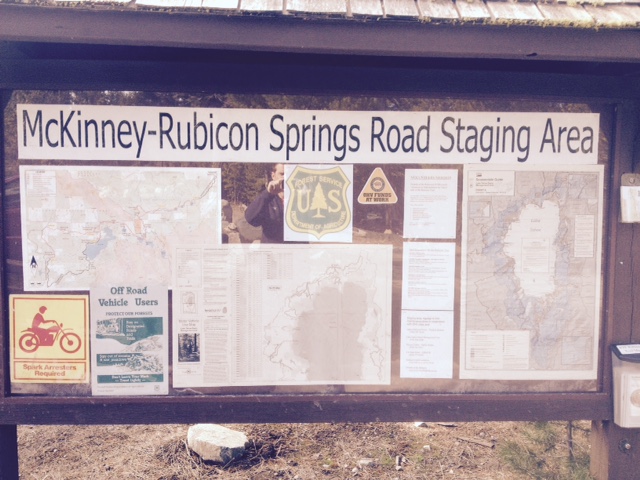
They added a full Motor Vehicle Use Map for North Tahoe and a snowmobile riding area map.

