
Pole Creek / Cabin Creek Trails
Posted: August 3, 2016 Filed under: Access, Maintenance, Travel | Tags: TNF Leave a commentOkay, so this is not really a Rubicon Area trail but it’s in the neighborhood, sort-of. The trail runs from near Truckee along highway 89 south of highway 80 to below Squaw Valley.
It has a very narrow window of opportunity due to private property and the mating season of some animal I can’t remember. But, on Monday August 1st, the Pole Creek / Cabin Creek Trail officially opened.
The previous Saturday, the Tahoe Donner Four Wheelers did a trail maintenance run. 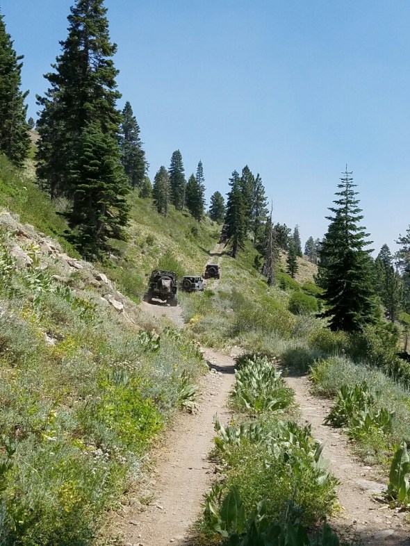
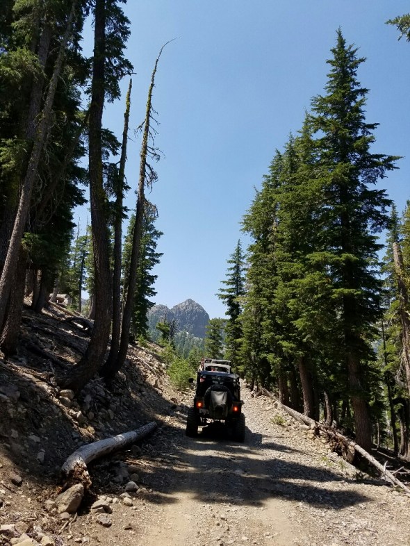
The trail is not difficult but full width vehicles or really long wheelbases are not recommended. The trail is narrow and has two very tight switchbacks near the north end.
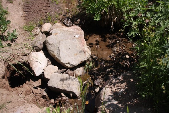
I didn’t take pictures but the club trimmed back quite a bit of brush and at one water crossing filled a growing hole with rock from the area. Before and after:

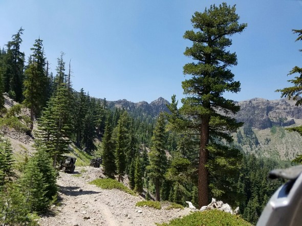
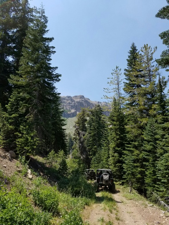
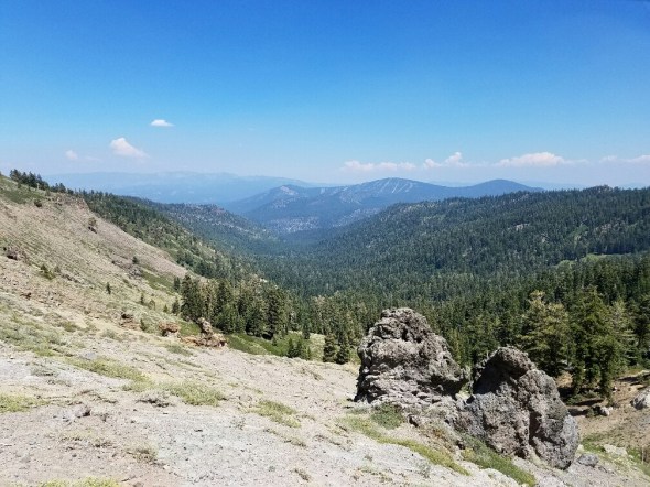
Did I mention the views were awesome:
And these aren’t the tight switchbacks.


Not a great picture of the back side of Squaw but this is where they do the cliff jumping for the Warren Miller ski films. You really get a good idea of how those jumps work with the tremendous run out after the fall.
Cool formations where we stopped for lunch near the north end.
Behind me there is a trailhead that leads up to Tinkers Knob. It an hour to an hour and a half round trip.

At the end of 16E84, at the north gate, we moved a bunch of logs to block a few illegal routes going around the gate. We’ll be back to harden those barriers before winter.
So, getting there can be a little tricky. Pick up the latest MVUM. Here’s a link for now: TNF South MVUM.
We ran it south to north. Catch forest road 08-01 off highway 89. There is a sign board there and the road starts off paved. This road takes you up to a cabin and bathroom which I missed the name of.
Further up the trail, you will make a left turn on to forest road 08. That is the south gate we had to unlock for the season. The trail you’re really looking for is 16E84.
As I said, the trail is not difficult but it is narrow and there are a few off camber sections. Water does cross the trail in several places. The Tahoe Donner Four Wheelers are working to harden these crossings.
When you reach the other gate, be mindful of the views off to the north west. You can see highway 80 in the distance near Donner Lake.
Getting back to pavement gets a little tricky. The intersections are not yet well marked but you’re looking for 01-06 and then 01 to get you back to Cabin Creek Road. That’s the road to the dump.
Along the way there are several old cabins from hunters or shepherds of days go by. There will be a series of rock walls in the trees to your right that I have no idea why they were built.
You can travel further north before dropping down to 89 by taking 01-03 down to 89.
Carry a map. In our group, some of the GPS units had the trails programmed, so that’s also an option.
Here’s a link to a set of photos taken by Bill Ratcliff the day of our maintenance run: Google Photo Link
“Turn Around, Don’t Go Around”

