Rubicon Trail Still Closed
Posted: October 13, 2021 Filed under: Access, Travel | Tags: closed, closure, fire Leave a commentThe Lake Tahoe Basin Management (LTBMU) Unit still has the Rubicon Trail closed until October 20th.
- The Caldor Fire is 98% contained.
- There has been rain and snow over the entire area.
- Temperatures are ranging from the 20’s to the 60’s.
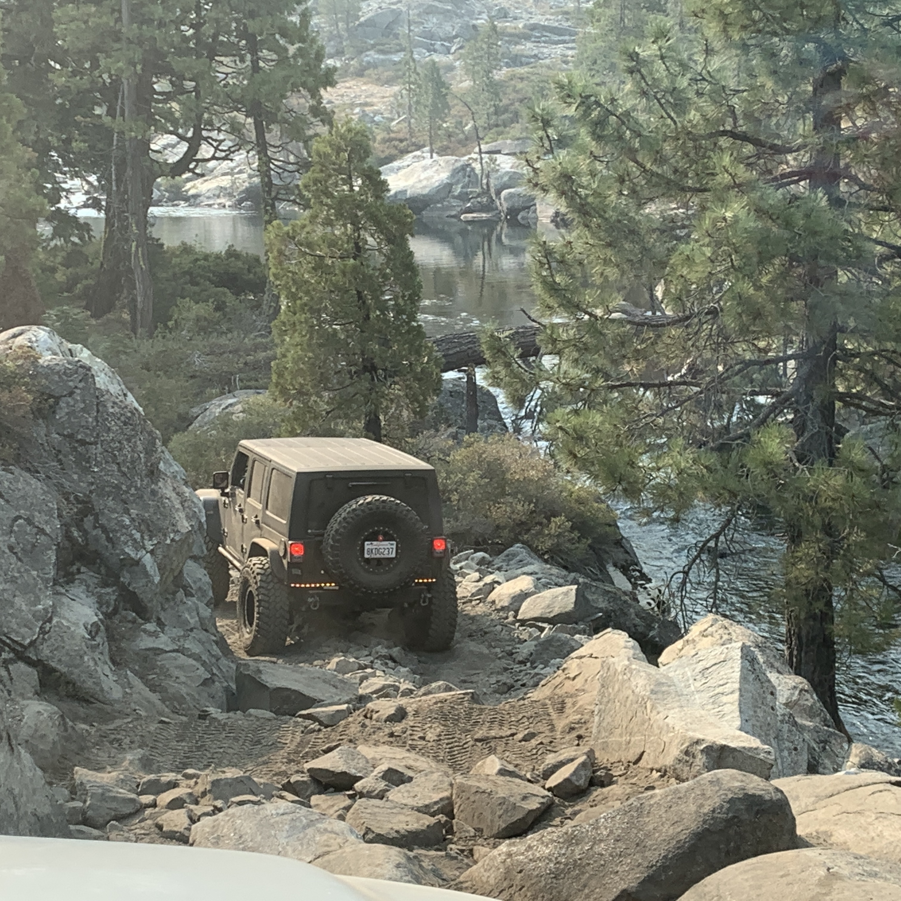
- The Rubicon Trail is open in Eldorado National Forest
- The Rubicon Trail is open in the Tahoe National Forest
- There are no strong winds forecast
Why is the Rubicon still closed?
Where is the Rubicon Trail Foundation (RTF)?
- RTF’s mission statement: “To Enhance the Future Health and Use of the Rubicon Trail, while Ensuring Responsible Motorized Year-Round Access.”
Why is RTF not ensuring our “year-round access”?
Does anyone fight for the Rubicon anymore? Is this the future of the Rubicon, seasonal closures due to possible fire conditions? If someone doesn’t push back, we will lose our trail during future summers as we’ve lost it this past summer.
FYI, if you go up to check out the trail status first hand, the bathrooms at the staging area are closed.
.
Rubicon Ronin
RANT warning: “My lack of confidence in the Rubicon Trail Foundation (RTF)”
Posted: September 30, 2021 Filed under: Access, Maintenance, Travel | Tags: access, closure, fire, LTBMU, RTF Leave a commentA quick timeline of events:
8/14 Caldor fire starts in the Eldorado National Forest
8/17 The Eldorado National Forest is closed
8/18 El Dorado County closes the Rubicon Trail
8/19 The Lake Tahoe Basin Management Unit (LTBMU) closes the west shore
8/19 I email RTF, asking what the “heck”? The fire is 12 miles away!
8/19 An hour later Region-5 closes all northern California forests
9/15 – Region-5 reopens the forests, two days earlier than expected
9/15 El Dorado County opens the Rubicon for day use only
9/20 – The LTBMU re-closes the west shore, the Rubicon Trail and wilderness areas
9/21 – I post about the re-closure on my website, linking to the LTBMU page
9/21 I post on the RTF Facebook page about the closure
9/21 Minutes later, RTF removes my post and about the closure
9/21 I emailed the entire RTF board asking why my post was removed and why they are not getting the closure info out to the users
9/21 RTF informed me they got yelled out for lack of complete information so they’re waiting until they have all the information. We’re still waiting, more than a week later.
Bottom line, RTF is not only holding back critical information from the users, they are actively suppressing information about the Rubicon Trail being closed.
I guess the big question is why would RTF suppress this information? RTF claims they wanted ALL the correct information before posting. I say, post the facts you can prove. Link to the LTBMU website and post the actual Forest Service (FS) documents and answer questions as they come in. To date, RTF has NOT posted about the Basin closure that runs through Oct 20th.
The Rubicon Trail Foundation mission statement: “To enhance the future health and use of the Rubicon trail, while ensuring responsible, motorized, year-round trail access.”
My personal assumption is that RTF doesn’t want to be seen as unable to keep the trail open “for year-round trail access” as their mission statement claims, so they just ignoring the closure.
Back when I emailed RTF about the early (8/19) LTBMU west shore closure, I wanted someone to push back on the LTBMU jumping the gun with an over-reaction and unnecessary closure. My feelings are that if these closures don’t get pushback, the FS will continue to put these closures in place, earlier and longer. I’ll point to campfire restrictions as my example. Think about full forest closures following the same closure dates as campfires.
Now, after Region-5 re-opens all northern California forests except the Eldorado. The LTBMU places a closure order on the west shore of Lake Tahoe, including the Rubicon Trail. Why?
Recognize that the Tahoe National Forest (TNF) has not closed the portion of their forest that lies between the Eldorado and the LTBMU! The Rubicon is open from Miller Lake to Miller Creek; the Hobbit Trail is open; Ellis Peak and many other trails are open but land locked by closures and restrictions.
The Rubicon Trail is still a county road within the Lake Tahoe Basin Management Unit and the TNF. Does the Forest Service really have the authority to close a county road, with no “emergency” at hand? Remember the Caldor Fire is now 76% contained fire is 10-12 miles away.
Today’s FS press release scales down the Eldorado closure and reopens part of the Eldorado closure but the LTBMU closure documents are included without change. The Rubicon remains closed. Ironically, the Noonchester Mine Road is open off the Rubicon because the ‘closure’ is listed as “backcountry”.
So, the TNF is open, the Eldorado is starting to re-open but the west shore of the LTBMU remains closed!
The Basin has overreacted and needs to be told exactly that. RTF and others need to push back on the current closure and fight to keep the Rubicon Trail open for “motorized, year-round trail access”.
FYI, the toilets at the Tahoma staging area were closed this morning, so those going to check conditions or not knowing of the closure have nowhere but the forest along McKinney Creek to ‘go’ when visiting the staging area. Not good.
Staying with Tahoe side issues:
No word on where we stand with the snow wall at the Tahoma entrance. Last I heard, Placer County was going to continue to ‘prioritize clearing the residential streets over keeping the Rubicon entrance clear of snow’. (not a true quote, but close)
One RTF board member said he thought that meeting went well! How is that “ensuring responsible, motorized, year-round trail access”?
Lahontan Water Authority issued a “Cease & Desist” when a small group of trail users used commercial snow removal equipment to clear the Tahoma entrance of snow piled there by Placer County.
When asked what RTF was going to do about that order, another RTF board member said that it was not their fight. How is that “ensuring responsible, motorized, year-round trail access”?
RTF supported the reroute around “the mud hole”. They worked with the Tahoe National Forest, built a berm to control the water flow of the seasonal creek crossing, cut down trees, blocked the original trail, placed fencing & rock down to create the current bypass.
The reroute is much narrower and has tighter turns. It’s also a dust mess. Lots of erosion. I’d like to know what that reroute does to a possible future RS2477 legal challenge. Since it’s not the original county road route, can the FS seasonally close it?
Early this year, there was literally no water in the old mud hole, while the rest of the Tahoe side was a wet mess. The berm did an excellent job and the reroute is actually no longer needed as long as the berm is maintained. Are we going to go back to the original route?
As the title of this rant says, I have lost confidence in RTF to do the right thing for the users and for the trail. There is the possibility that RTF is working in the background to get things done but following the list of to-do’s mentioned above, and the length of time those issues have been active, I’m not hearing that the RTF has been successful.
I’ll even put my real name to this one…
.
Doug Barr
Rubicon CLOSED within LTBMU!
Posted: September 22, 2021 Filed under: Access, Travel | Tags: closure, fire, LTBMU, Rubicon Leave a commentI don’t understand it, but I’m passing along the information.
Several closure documents can be found on the Lake Tahoe Basin Management Unit (LTBMU) website linked below:
Here is the Rubicon specific document from the Lake Tahoe Basin Management Unit website. You can scroll down to the last map but I’ll help you out. OHV trails on the west shore are closed until Oct 20th!
I added the “Rubicon Trail – 14N34” name as the LTBMU probably doesn’t want to admit to closing the Rubicon. 14N34A is Noonchester Mine Road & 14N40 is the Buck Lake Trail.

Although the rest of Region 5 was opened two days early, the Basin thinks they know better and have closed the west shore, including the wilderness areas and the OHV trails.
It won’t do any good but we need to let our representative and the forest know this is not acceptable.
Call or email the Lake Tahoe Basin Management Unit and the Rubicon Trail Foundation, NOW!
.
Rubicon Ronin
How the Fordyce Trail kicked my A$$
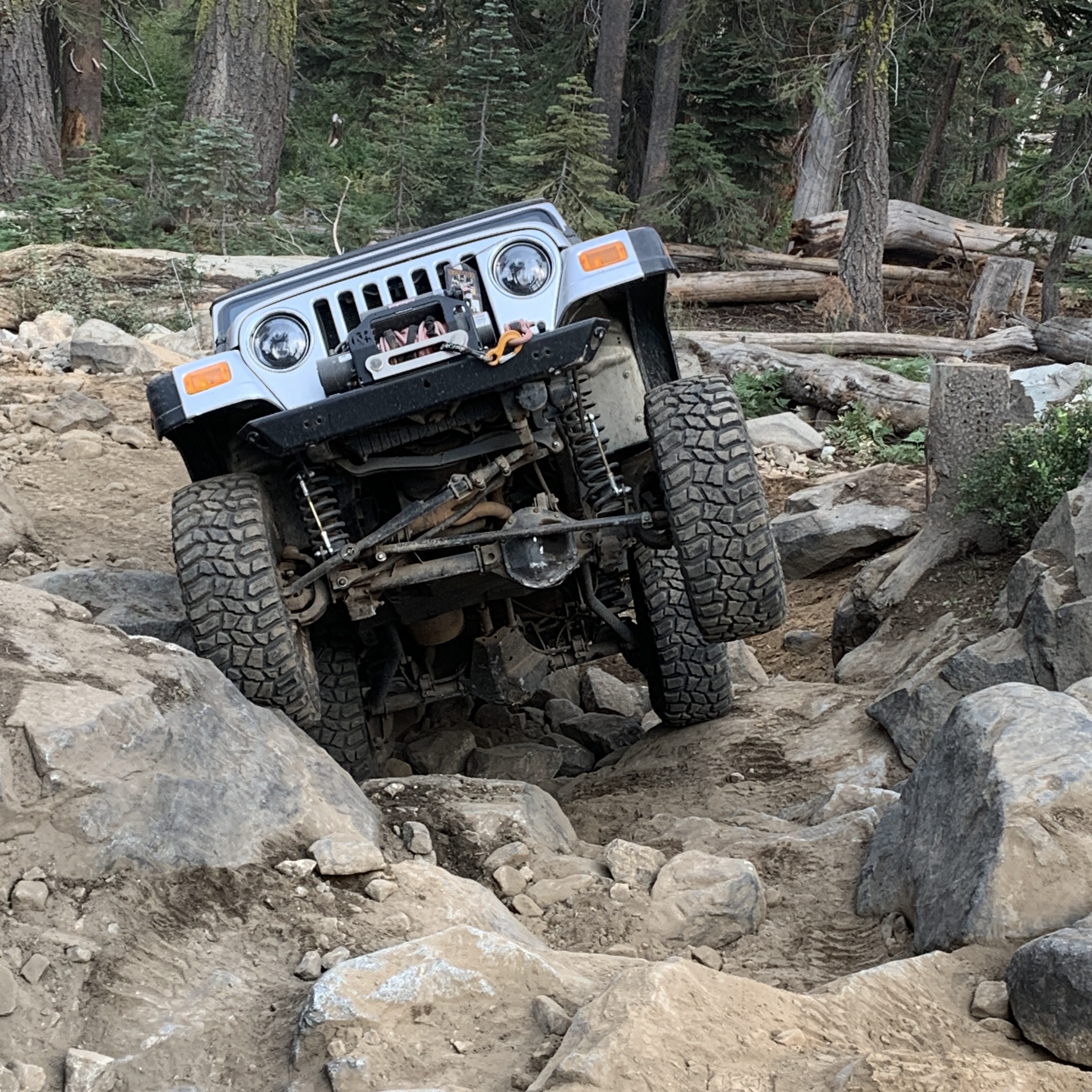
Posted: August 31, 2021 Filed under: Travel | Tags: erosion, hard, trek Leave a commentThis was my 5th Trek. The last time I did Trek and the Fordyce, it was the toughest trail I had ever done. This year, new rig with an automatic, selectable lockers, fuel injection, etc.; I was bringing more rig this year, so I figured I was good. Wrong. Over the years, due to weather, use and abuse, the trail had deteriorated to being tougher than ever.
We set up our camp at Meadow Lake Wednesday night. We then drove to Tahoe for the night. Our family cabin at Tahoe was a better night’s sleep than a tent. But it was a short night. The alarm went off at 4:30, out the door before 5am and arrived at staging 6:15. We were the last to arrive.
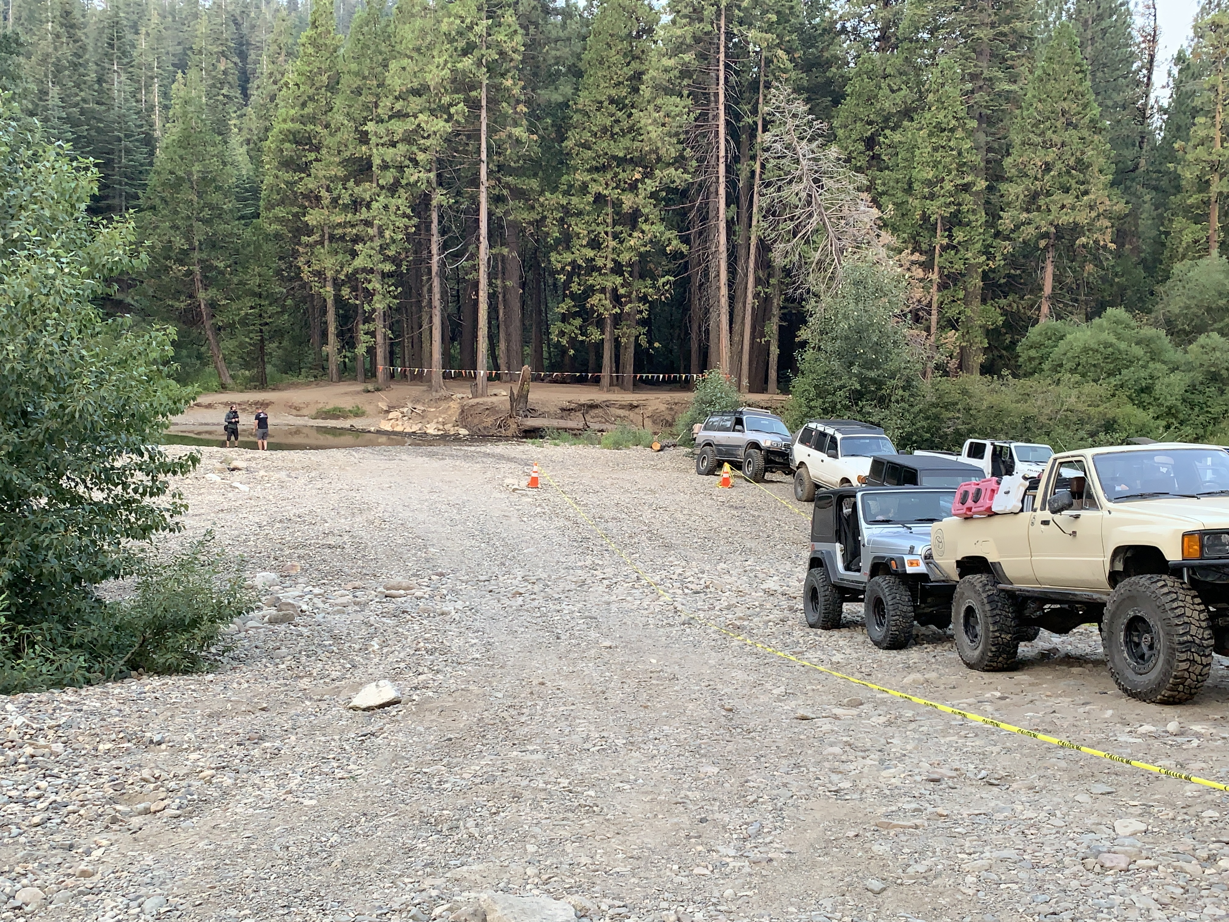
Driver’s meeting at 6:30 and at 7am we were moving. Let me cut to the chase. We made main camp at 8pm. That was not a typo, 8pm. It was a 13-hour day to drive the Fordyce Trail.


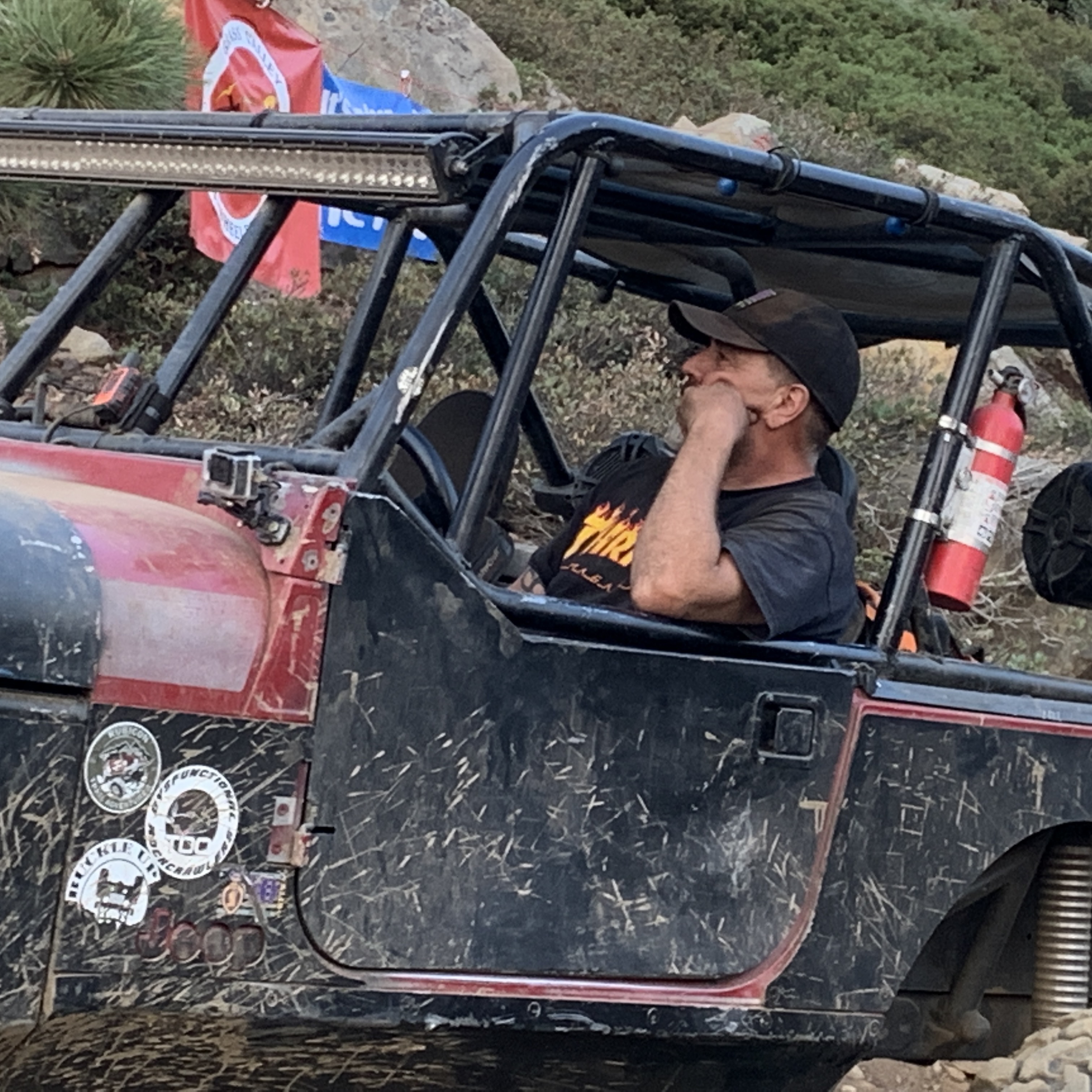
The trail is 12 miles long. The first six miles were your typical rock crawling trail. We made good time as only two and a half hours had gone by. The Trek guys had broken us in to groups. Our group was small at five rigs. All 4-door JKs, except me in my 2-door TJ. We all figured we’d have minimal issues. Our leader was in a new to him JK that could have used a little more lift or a little more tire or both.

That’s how our issues started to pile up. Overall, our leader had more hang-ups than anyone in the group. But we stepped up and played rock rollers and spotter as needed. The problem was when one of us needed help, he wasn’t too fast to return the favor. Maybe that wasn’t in his agreement with Trek as this is advertised as an unsupported run.

The bigger issue was the difficulty of the trail. My honest opinion is that the trail is currently too difficult to run this type of event. The Thursday group was a 13-hour drive. The Friday event was a 15-hour drive. There were medical issues both days which didn’t help.

The other issue that didn’t help was the guy who wouldn’t pull over. One individual on the run lost his starter somewhere after winch hill two and wouldn’t pull over to let others pass him. He and his buddies winched and dragged this guy all the way through the trail without letting others pass. Why not park the rig, let people by, keep the event running, run to camp and get a starter out of another LS rig and run back down the trail and install it?
This guy knew better. He was asked, and as I understand it, harsh words were exchanged. This guy is a Cal4 member. He’s worked as a volunteer on Sierra Trek before. The word is that he even chaired Sierra Trek for two years. How is it that someone who knows better can be such jerk to so many other wheelers?
Honestly, our group didn’t encounter this guy until winch hill five. The trail was so tough, we were going stupid slow anyway. We were having our own issues along the way. Although there are five winch hills one through five, we found winch hills 2.5, 3.5, 4.5, that could easily be added to the list of winch hills and staffed with spotters to keep rigs moving at a normal pace.

I had been boasting how nice it was to have a short wheelbase, compared to the 4-doors, most of the day. Bad Karma. The rain had started, things got slippery. At the beginning of a climb, my rig slipped right and the passenger side hardtop window came to rest on a rock, mid window. Not good. I turned left to get the glass away from the rock but I knew I was doomed. As soon as the rig moved, the window shattered. But that was just the beginning.
With the rock inside the rig about three inches, I couldn’t go forward. I couldn’t go backwards because I was up against a rock. My group had to winch me sideways so I could back up. Karma came back to bite me for boasting earlier.

The window was no big deal. Not stupid expensive to replace. I was more bummed out that my group had to step up and work, in the rain, to get me out of my situation. And I was stuck in the driver’s seat and couldn’t help. Thanks again guys!

The group idea is great. Many runs use it. At Trek, there were two guys going pretty slow in front of our group. They were so slow, they dropped away from their group and we took them in to ours. How did the group in front of us lose two rigs and not stop to make sure they were okay? That’s the point of grouping rigs.
We all know not to lose sight of the rig behind us in case they have an issue. We should also know to keep up the pace with the rig in front of us without riding them too close. These guys dropped off our group a few times but we tried to make sure they were at least still rolling along. Ham radios were key to that.
Although Sierra Trek is a great event, well run, great food, scenic views and gets you across a few rivers that are usually running too high to safely cross, I won’t be doing it again until the trail is repaired to prevent another 13 hour drive. I’ll probably be back with my club and just five rigs to do it again.
Trail maintenance for the Fordyce Trail falls on the Tahoe National Forest. There are many clubs that have stepped up and helped the Forest Service in maintaining the trail: Friends of Fordyce comes to mind but there are others.
Winter storms and heavy snowfall changes the trail. But users who don’t Tread Lightly also contribute to the deterioration of the trail. There was erosion in many places. One of the iconic winch hills could no longer be run because the terrain had changed so much. The bypass was now the trail.

Main camp was a party as usual. Good food and plenty of it. The vendors were out on Saturday. The showers were warm and very welcoming after 13 hours on the trail.
I hope the trail can get some seriously needed maintenance and repair over the next few years.
.
Rubicon Ronin
Region Five closes all northern CA forests
Posted: August 19, 2021 Filed under: Access, Travel | Tags: closures, fire Leave a commentLet me try this again…
Now Region Five is jumping on the close everything bandwagon.