
Deer Valley Trail – good news!
Posted: August 31, 2016 Filed under: Access | Tags: access, ENF Leave a commentSo the Dept of Fish & Wildlife finally got back top the Eldorado National Forest regarding the re-opening of the Deer Valley Trail.
They agree with the ENF that the re-opening and future work “may affect, but is most likely not to adversely effect” the Lahontan Cutthroat and yellow legged frog.
Here’s the whole document:
We are not out of the woods yet.
- Rick Hobson, Amador District Ranger, will draft his “Final Decision”
- The decision will be posted/published publically
- There will be a 30 day “objection” period (not the same as comments)
- Crabtree will consider any “objection” and will draft his decision
- This decision may include things to address any “objection” such as requiring the approach/departure of the creek crossing to be completed before the trail opens. He could alter the dates of the seasonal closure.
This trail is scheduled to stay open until January 1st. That means two months from now we will be on the trail. Baring any last minute lawsuits that will eventually far short because this has already been to court.
Rubicon Ronin
V-Rock now U-Rock
Posted: August 29, 2016 Filed under: Access, Maintenance | Tags: Cadillac Hill, FOTR, maintenance, Placer, RTF, Rubicon Leave a commentSo, I made it down Cadillac Hill this past weekend and noticed that quite a bit of work has been done. Cadillac Hill was easier than I can ever remember.
As you all know, there are several ‘famous’ obstacles along the climb up Cadillac Hill. One of those is V-Rock. V-Rock is (was) a granite slope from above the trail down to the edge of the trail with a large boulder outcropping at the edge. The angle between the granite slope and edge of the boulder created a “V” that users needed to navigate.
So here are two before any work was done. Unfortunately, not all from the same angle. The granite slope on the right slopes up more than the photo implies.

Special nod to Randy for posting a picture of his rig the last time it was running. Note the deep “V” at his front right tire.

Some work was done over the last few years to get the condition below. The “V” still has loose rock so the depth can vary. Drive it as is if so equipped; fill in a bunch of rock if you’re lower or limping out broken.

But now, after a whole bunch of concrete and rock were placed in the “V”, the “V” is now a “U”. And it’s concrete so no chance for a difficult line.
![DSCN0558[1]](https://theotherrubicon.com/wp-content/uploads/2016/08/dscn05581.jpg?w=590)
I asked before on a public forum “Who Decides?” That thread was started about a rock on Cadillac that was drilled and split, without any formal permission. The answer was if it’s a safety issue, take care of it.
What would happen if an individual made the Soup Bowl ‘safe’?
Now there are rumors that even more rocks will be split, removed, dealt with, etc. on Cadillac Hill; during the dark of night with no formal permission or discussion. Does Placer know? FOTR? RTF? TNF?
There is a new bypass on Cadillac Hill in the ‘trees’ section. I can only assume the tight turn was too much for some drivers or some rigs so they went straight through the trees. This is an illegal users created bypass and will be blocked.
In both photos below, you can see a former bypass that was blocked on the right. In the first photo right through my rear view mirror. In the second photo far right and half way up.
Bypass straight ahead, original trail to the right:
![DSCN0513[1]](https://theotherrubicon.com/wp-content/uploads/2016/08/dscn05131.jpg?w=590)
Bypass left of the tree, original trail around to the right:
![DSCN0514[1]](https://theotherrubicon.com/wp-content/uploads/2016/08/dscn05141.jpg?w=590)
I thought people drove the Rubicon Trail for a challenge?
Pole Creek / Cabin Creek Trails
Posted: August 3, 2016 Filed under: Access, Maintenance, Travel | Tags: TNF Leave a commentOkay, so this is not really a Rubicon Area trail but it’s in the neighborhood, sort-of. The trail runs from near Truckee along highway 89 south of highway 80 to below Squaw Valley.
It has a very narrow window of opportunity due to private property and the mating season of some animal I can’t remember. But, on Monday August 1st, the Pole Creek / Cabin Creek Trail officially opened.
The previous Saturday, the Tahoe Donner Four Wheelers did a trail maintenance run. 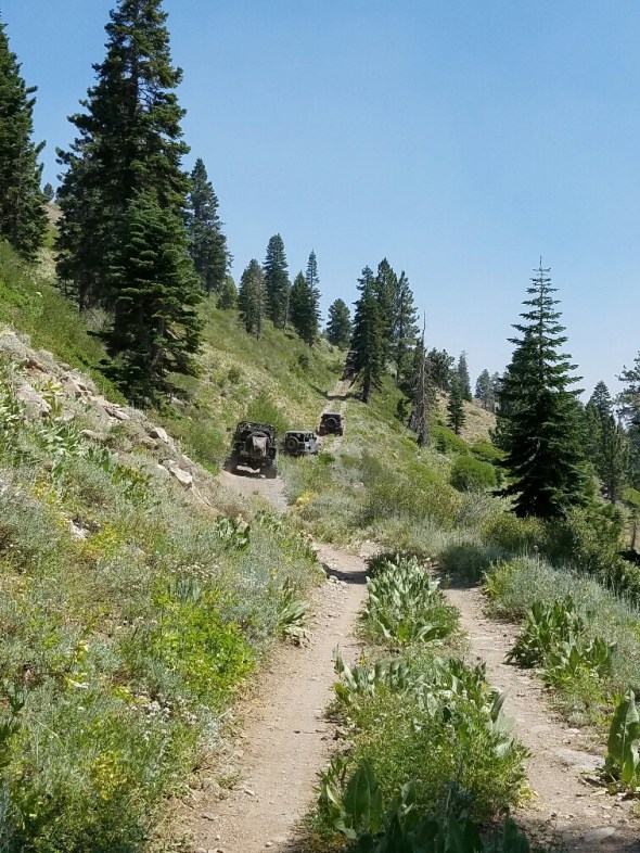
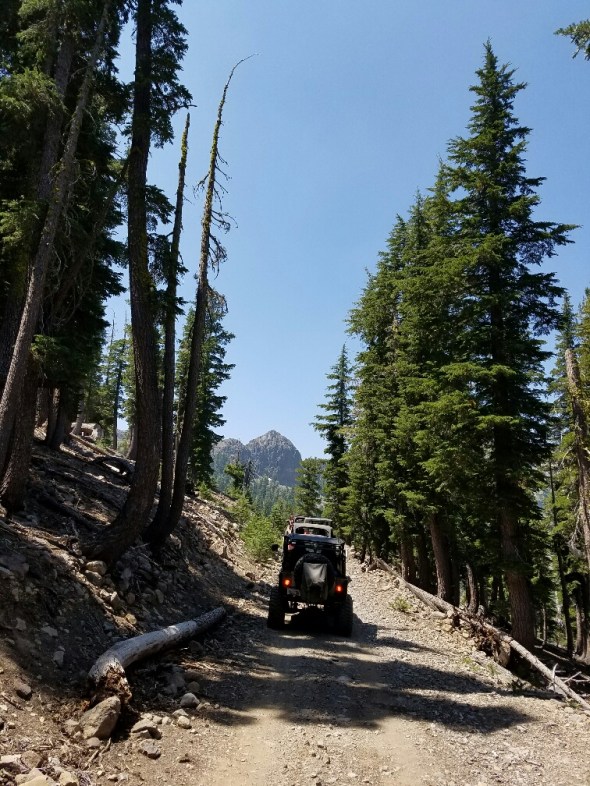
The trail is not difficult but full width vehicles or really long wheelbases are not recommended. The trail is narrow and has two very tight switchbacks near the north end.
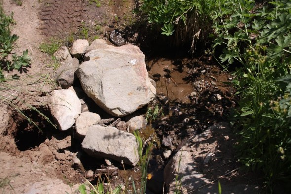
I didn’t take pictures but the club trimmed back quite a bit of brush and at one water crossing filled a growing hole with rock from the area. Before and after:

Did I mention the views were awesome:
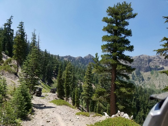
And these aren’t the tight switchbacks.


Not a great picture of the back side of Squaw but this is where they do the cliff jumping for the Warren Miller ski films. You really get a good idea of how those jumps work with the tremendous run out after the fall.
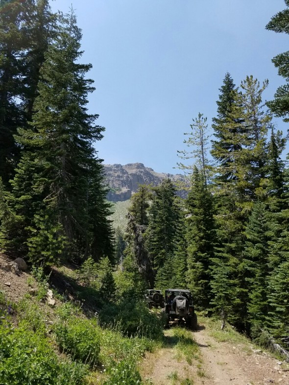
Cool formations where we stopped for lunch near the north end.
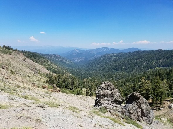
Behind me there is a trailhead that leads up to Tinkers Knob. It an hour to an hour and a half round trip.

At the end of 16E84, at the north gate, we moved a bunch of logs to block a few illegal routes going around the gate. We’ll be back to harden those barriers before winter.
So, getting there can be a little tricky. Pick up the latest MVUM. Here’s a link for now: TNF South MVUM.
We ran it south to north. Catch forest road 08-01 off highway 89. There is a sign board there and the road starts off paved. This road takes you up to a cabin and bathroom which I missed the name of.
Further up the trail, you will make a left turn on to forest road 08. That is the south gate we had to unlock for the season. The trail you’re really looking for is 16E84.
As I said, the trail is not difficult but it is narrow and there are a few off camber sections. Water does cross the trail in several places. The Tahoe Donner Four Wheelers are working to harden these crossings.
When you reach the other gate, be mindful of the views off to the north west. You can see highway 80 in the distance near Donner Lake.
Getting back to pavement gets a little tricky. The intersections are not yet well marked but you’re looking for 01-06 and then 01 to get you back to Cabin Creek Road. That’s the road to the dump.
Along the way there are several old cabins from hunters or shepherds of days go by. There will be a series of rock walls in the trees to your right that I have no idea why they were built.
You can travel further north before dropping down to 89 by taking 01-03 down to 89.
Carry a map. In our group, some of the GPS units had the trails programmed, so that’s also an option.
Here’s a link to a set of photos taken by Bill Ratcliff the day of our maintenance run: Google Photo Link
“Turn Around, Don’t Go Around”
Ellis Lake Trail
Posted: July 31, 2016 Filed under: Access, Travel | Tags: access, camping, TNF Leave a commentSo, it officially starts as the Ellis Peak Trail (03-04012-05), that’s the right turn past Miller Lake, the range fence and just after the “pond”. There is one dead-end trail that is not marked and not yet blocked, stay left. When you get to a four-way intersection, that should be better marked by Aug 5th, go straight (16E18) don’t turn right.
This route will take you to Ellis Lake.
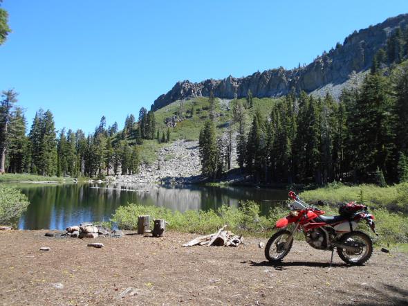
I was there mid-July and there was still a snow drift or two.

This is a perfect camp for someone who wants to sleep in. The towering ridge to the east, that includes Ellis Peak, shelters you from the morning sun.

I have no idea if there are fish but it would be a great float late in the afternoon. I’ve heard there might be a bug issue in the area too early in the season.

A very short walk provides a view of Blackwood Canyon.
West towards Barker Pass:

Further east towards the entrance of the canyon at the Kaspian Camp ground:

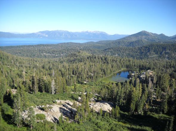
Here’s a view of Ellis Lake from Ellis Peak. Note the severe drop off on what would be the north west corner of the lake.
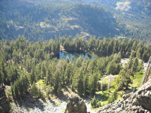
And a view of Buck Lake and the south end of Lake Tahoe from Ellis Peak.
If you or your club, group business or whatever would like to “Adopt” this trail and campsite, please let me know.
This is just one of many examples of what is out there in the Rubicon Trail area. Get out there and find enjoy it all.
“Turn Around, Don’t Go Around”
Fire Restrictions
Posted: July 9, 2016 Filed under: Uncategorized Leave a commentFYI,
Fire restriction are in place now on the Lake Tahoe Basin Management Unit. They started July 1st.
Fire restrictions start on the Tahoe National Forest July 11th.
Eldorado Forest fire restrictions started July 21st.
You can have a propane grill but you still need a permit.
No welding while fire restrictions are in place. Maybe on private property WITH PERMISSION. Have water and shovels ready at all times.


