
New Tri-MVUM map for Rubicon area
Posted: January 27, 2015 Filed under: Access, Travel | Tags: El Dorado County, Placer, Rubicon Leave a commentIt’s only a first draft but here is a new map of the Rubicon Trail area:

This map combines the three Motor Vehicle Use Maps (MVUM) from the Tahoe National Forest (TNF), the Eldorado National Forest (ENF) and the Lake Tahoe Basin Management Unit (LTBMU). This issue only comes up on the Placer side as the ENF MVUM map covers the entire Rubicon on the El Dorado side.
This map will provide the users with a guide to side trails in the area from Blackwood Canyon to Sourdough Hill. This map is provided for reference only. It is not intended to be used to navigate. Most of the trails listed on this map are seasonal use only, for wheeled motorized vehicles. It is the users responsibility to know when the trails are open for use.
The backside of this map has user information including trail names to go with the FS trail numbers, ham radio frequencies and contact information for Rubicon agencies:
As I said, first draft. This version started as a scan of the three MVUMs. Not a great quality to start with. As I’m new to Photoshop, the resolution was not set to the optimum setting. I’m already working on a new map, from the online FS maps, that should be of good enough quality to enlarge to a size suitable for the trailhead sign.
Although the forests involved would probably rather see ALL the data left on the maps, in future drafts I’m going to eliminate some of the clutter, including all the labeling of the really short trails. That would be all the 003-004-07 kind of numbers.
The LTBMU labels private property vs forest lands differently than the other two forest. Not noticeable in this version. The border between the forests gets a little lost but is the solid black line. No lines for the two counties. The two wildernesses are marked but only one is labeled. Again, first draft. The different forests use different styles to mark the OHV trails. I tried to get the LTBMU and the TNF the same but I’ll wait for the next draft to make the ENF trails look the same.
As crude as this first draft is, these fliers are currently available at the Tahoma Staging Area.
I wanted to get these out so I could get some feedback on the idea. Please let me know what you think these maps need to make them worth while.
Thanks!
Winter on the Rubicon
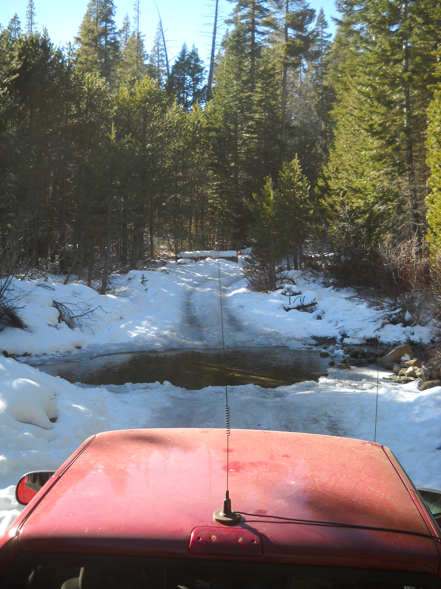
Posted: January 8, 2015 Filed under: Uncategorized Leave a commentI drove out to the Rubicon yesterday. Being alone and in my street truck, 2002 ZR-2, I didn’t venture too far.
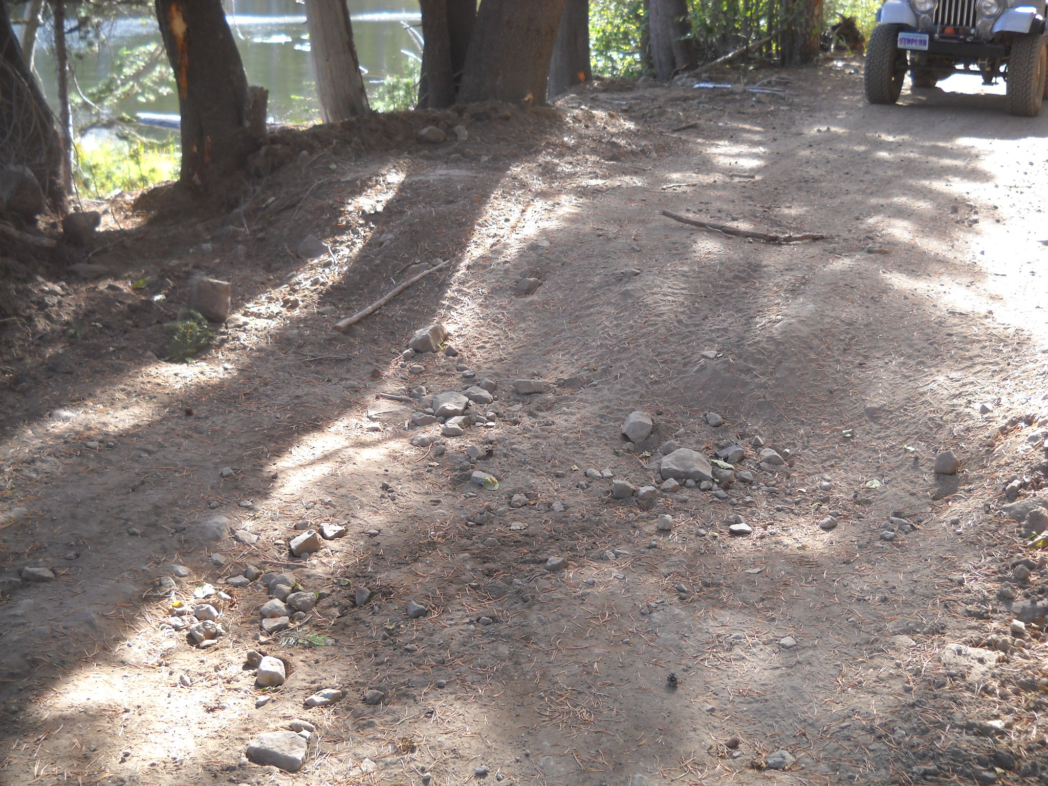
Here is my truck at water bar number eight, actually an Arizona crossing. It’s about a 1/8 mile past the intersection with the Buck Lake Trail. The trail was very icy due to the warm day temperatures and below freezing nights.
Plenty of evidence of people out playing on the trail.
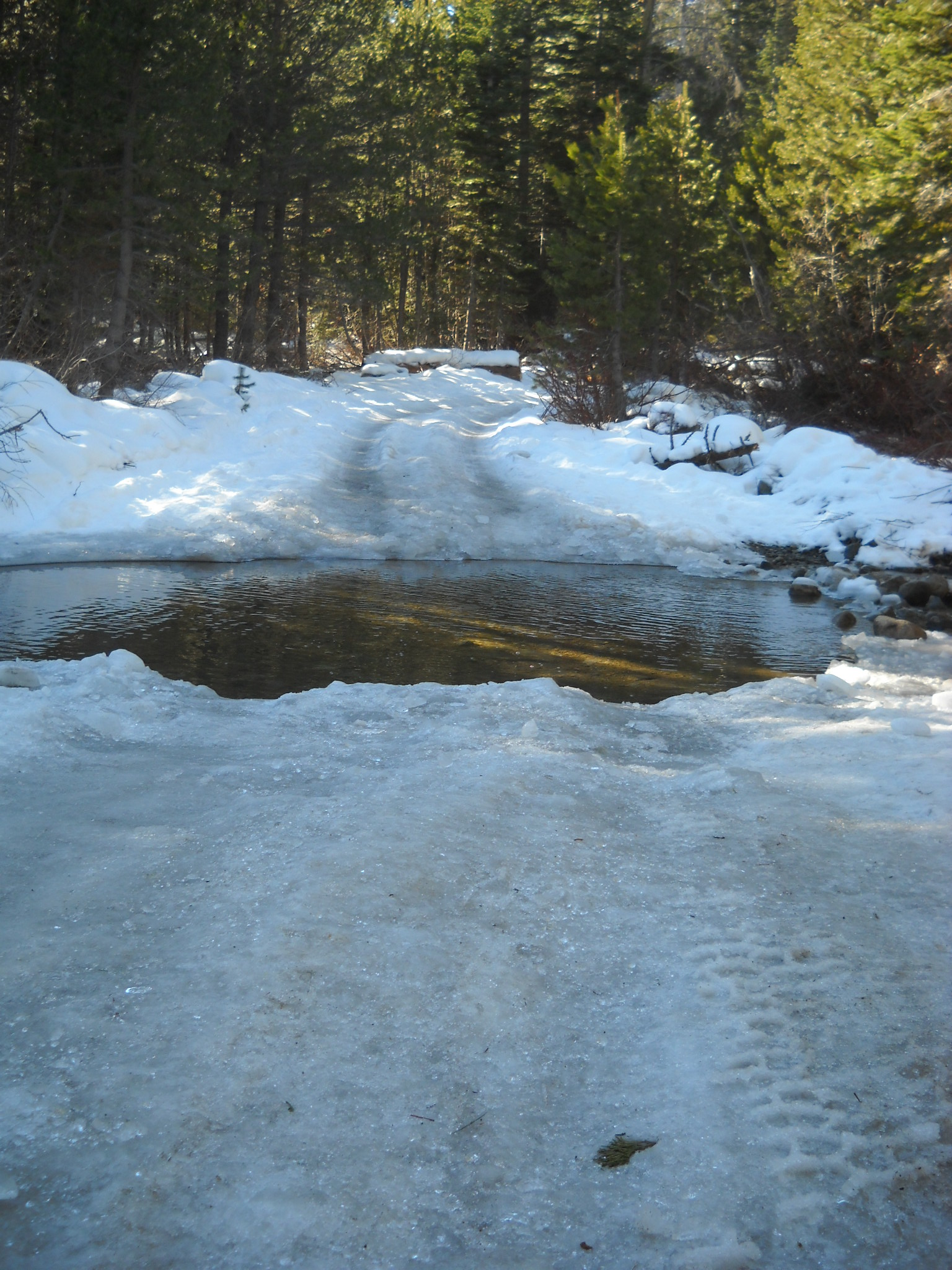

Just before WB#8, someone took the time to clear a downed tree from the trail. Thank you to all of you who take care of business while you’re out on the trail. If you document your time and the people involved, we can get credit towards grant fund matching. Forward any documentation to FOTR.

Please remember to go prepared.
“Turn around, don’t go around.”
If you come across a downed tree or other obstacle and don’t have the means to clear the trail, turn around and head home. Do not drive around the blockage. If you have a chain saw or what ever it takes to clear the trail, feel free to do so but be very careful. This time of year there is less traffic on the trail. If you hurt yourself, you might not see someone drive by for days.
Placer looking for input
Posted: December 17, 2014 Filed under: Uncategorized Leave a commentPlacer County is planning a late January meeting to gather input from volunteers/users. The grant process starts in February for the 2015 season. The discussion will focus on listing and prioritizing maintenance needs for the Tahoe side that can fulfilled under grant funding (read as by an outside contractor). Placer is trying to keep the scope of this next grant to water quality issues but all ideas will be entertained and prioritized.
I’m sure a follow up discussion will take place to determine what projects can be completed by the volunteers.
If you have any ideas about what you would like to see done on the Tahoe side, please speak up. You can email me (TheOtherRubicon@Charter.net), FOTR or Placer County to have your voice heard.
Thanks for your input.
One year and still moving forward…
Posted: December 6, 2014 Filed under: Uncategorized Leave a commentWell, it’s been a full year now.
It’s been interesting putting this site together and learning what works and what’s important. One of the funnier lessons is it’s tough to find a picture for each week and the time to switch it out. So, that’s going monthly.
I’ve tried to build a website so users of the trail can find updated general information about the Rubicon Trail and also be kept up on what’s going on regarding changing and challenging issues facing the Rubicon and the surrounding area. In the future, I’ll try and streamline the ability for those reading the website to comment on current issues to the right people by posting the email address and a few bullet points.
One area I have yet to expand is the Vehicle/Equipment page. I have visions of listing minimal vehicle upgrades prior to hitting the trail. Or at least how far in one should travel if not in a fully built rig. The other aspect is to build a spare parts list and a tool list.
Please feel free to let me know what you think should be added to or covered by the website.
Safe trails…
Rubicon Ronin
Placer contractor finishes grant work
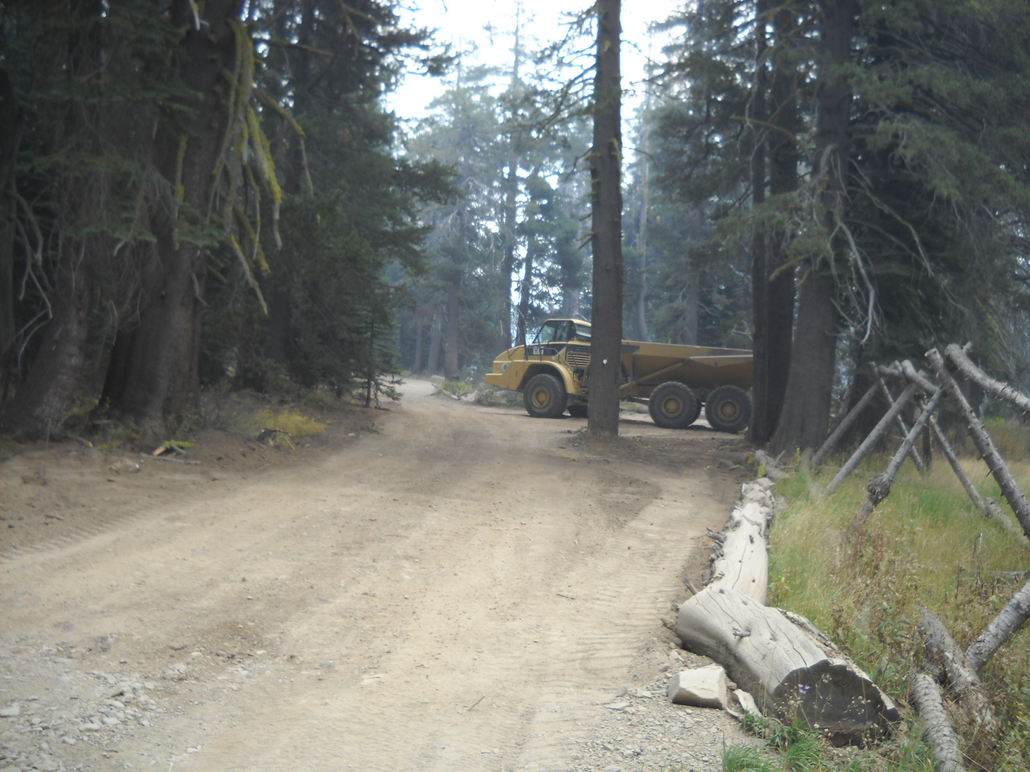
Posted: October 31, 2014 Filed under: Maintenance | Tags: grant, Placer, Rubicon Leave a commentLast year, Placer County was awarded a $294,000 OHV grant through the CA State Parks OHMVR program. The work funded by that grant was recently completed. Although the funding didn’t cover everything on the to do list, it was a step in the right direction.
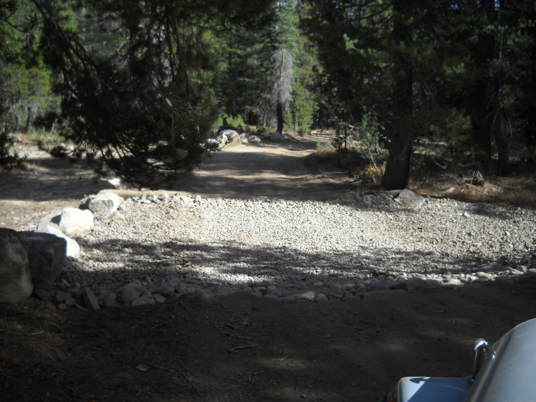
Along the paved portion of the trail between the residential area and the staging area, a dozen or so spots of asphalt were cut out repaved. At the same time, the low spots along the edge of the road, particularly the inside turns, were filled in and compacted. This will provide a smoother and safer ride as trailer tires will not drop off the edge of the road.


More importantly, additional low spots along the trail were filled in. The primary scope of this portion was from the TNF/LTBMU border to the intersection of the Rubicon Trail and Forest Road 03-04 (Barker Pass Road).
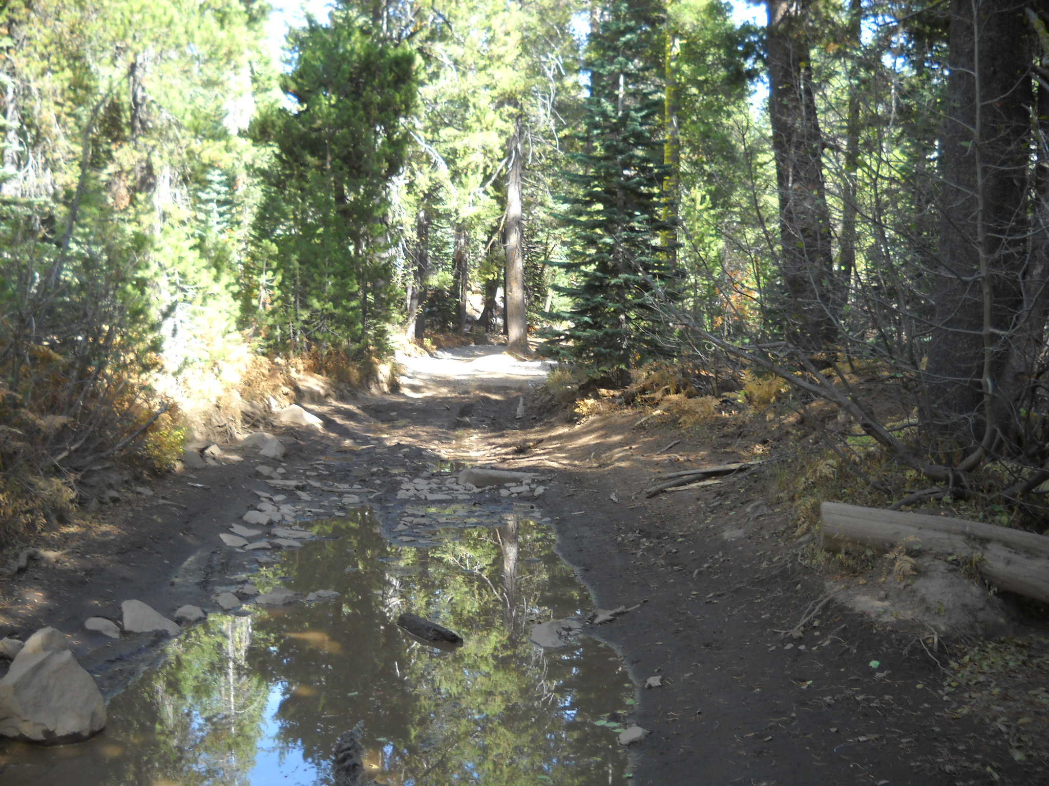
Here are two pictures from an area right along Miller Lake. In the first two pictures you can see the standing water on the trail. The second photo shows the attempts of those who didn’t want to drive/ride through the water. That illegal bypass as been blocked off.

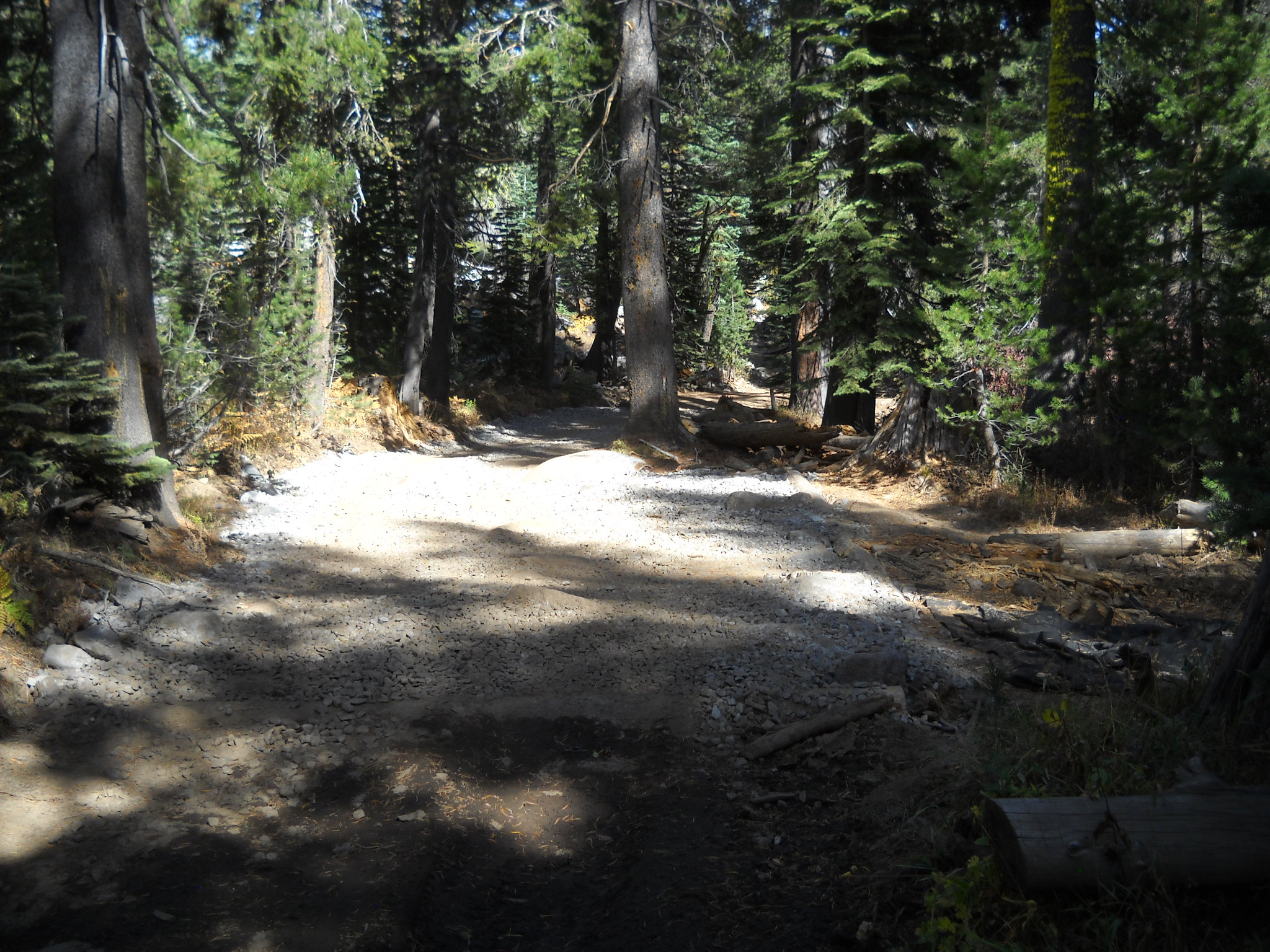
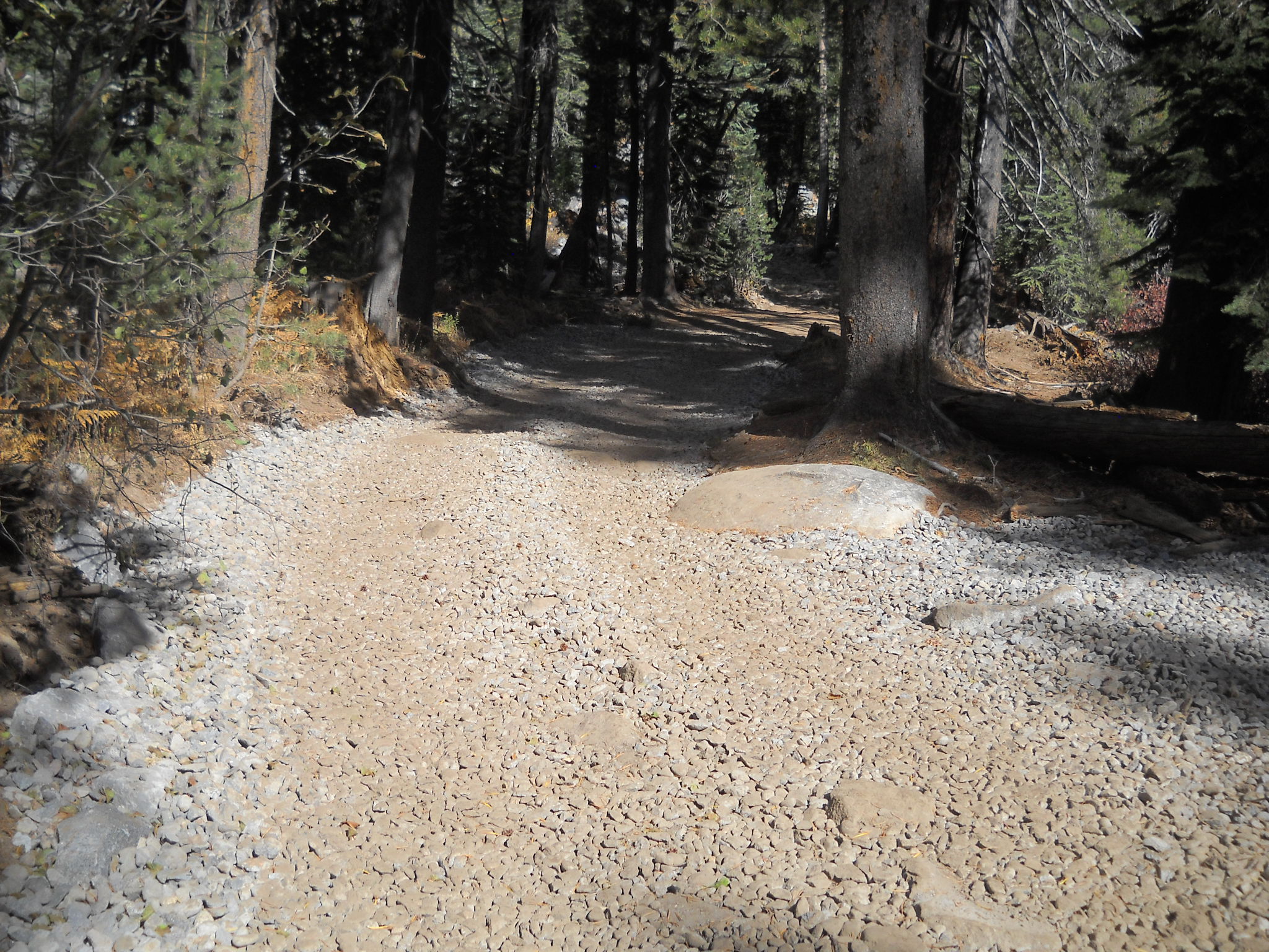
This picture shows the same route (different angle) filled in to prevent any water from pooling on the trail. This will keep the mountain bikes, motorcycles, quads and side-by-sides on the trail.

Further down the trail, just before the Range Fence, there was a HUGE water hole. The signs on either side cautioned that the bottom was bumpy but not muddy and it was only about a foot and a half deep. Those signs kept most people from driving off trail. The Range Fence stopped the rest.
Before:

After:
Sorry that these photos all seem to be from different angles. But you get the point. A lot of dirt was moved on to the trail to build up the low spots. Approximately 1000 cubic yards of dirt was placed at this spot alone. Future work might include armoring some of the still vulnerable areas.
The one spot outside the scope that received a great deal of work was the old Mud Hole west of the Potato Patch. A few years ago, the Lake Tahoe Hi-Lo’s lead an FOTR effort to fill and drain the water hole. We moved almost 80 yards of rock to armor and raise the bottom and trenched a drain away from the trail. The final effort lower the water level by several feet.
This spot was still a concern as water would still pool, so Placer drew up specific plans to fill in more of the hole, further armor the bottom of the hole (and drain) and re-establish the drain in to the forest.
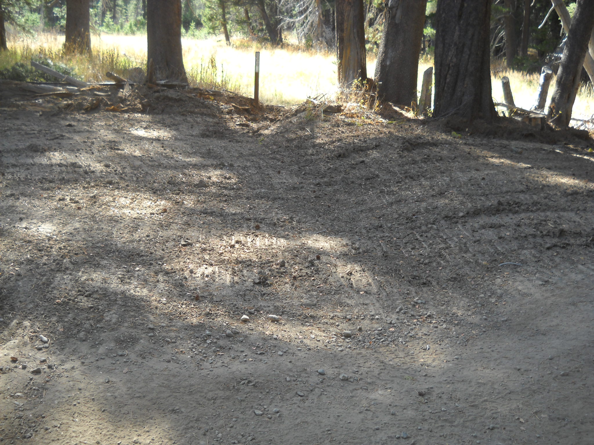
So, here is the current view from the west. The old bypass is to the right. In the distance you can see the fill material.
Here is shot from the trail looking down the drain. The rock in the photo is the sediment trap lined by the contractor.

This rock will be used to line the rest of the drain area. Hopefully before winter sets in.

So, if you hadn’t noticed, the fill material came up a little short. The contractor maybe got half way. We think he calculated enough material to line the mud hole then ended up trying to fill the mud hole. This project will have to be revisited next season.
A close up of the area that was filled to the rim.
One of the last pieces to this puzzle was to create several rolling dips and drains along the trail to further prevent water from pooling on the trail. Here are some examples:
Even the outlet of the seasonal pond at the Ellis Creek Trail got lined:
Unfortunately, not all project get done perfectly. This project is no exception. As I said before the mud hole needs more fill material and there were a few seasonal creek crossings that did not get rolling dips. Things that are easily finished next summer.

