
LTBMU asks for OHV input
Posted: December 28, 2015 Filed under: Access, Maintenance Leave a commentThe Lake Tahoe Basin Management Unit (LTBMU) has a few things going on right now. They recently released a letter/report seeking input for a more general scoping process involving roads, trails and facilities. I posted about that on Dec 7th. Comments should be made on that issue as well as this latest release.
This latest release/request (scheduled for today), is OHV specific. The letter was a collaboration between the forest service, Cal4, Blue Ribbon Coalition (BRC) and CORVA. The LTBMU wants to hear from the users what they want done within the LTBMU regarding OHV. This could be very specific maintenance projects on the trail (the 14Nxx trail needs a rolling dip constructed at this point..) or more general comments about how to improve the overall management of OHV process and system (there should be a monthly open house/meet and greet/coffee talk for users to meet with Forest Service employees).
Here is the letter that was written as a collaboration with those listed:

This is a huge opportunity for us, the users, to tell the LTBMU exactly what we want done. Okay, they’re not going to do everything we want but we need to at least tell them. It’s like, “If you don’t vote, you can’t complain”. If you don’t voice what you’d like to see done with OHV, don’t complain.
Possible topics: Signage: simple trail markers, club adopt-a-trail signs; Maintenance projects: water bars, rolling dips, hardening water crossings; more Adopt-a-trails available and supported; a single email address for ALL things OHV within the basin; dedicated OHV employee for consistent communications; etc.
Please email: comments-pacificsouthwest-ltbmu@fs.fed.us with the title “LTBMU OHV Input”
I’m keeping a positive and open mind on this effort. The LTBMU is acting like they want to make it happen. We need to show support and give them a list of things to do. Again, little specific things or huge sweeping general ideas, stuff for this summer or long term projects that could take years to complete.
Similar to my “Turn Around, Don’t Go Around”, for this post its: “Speak up or shut up”
Doug
LTBMU seeks input
Posted: December 7, 2015 Filed under: Access, Maintenance, Travel Leave a commentThe Lake Tahoe Basin Management Unit (LTBMU) is asking for our input. Although this is a scoping process and involves facilities as well as roads and trails, we need to read through this and comment.
I’ve only read it briefly and my first thought is to separate the facilities from the roads/trails within the document.
http://www.fs.usda.gov/detail/ltbmu/news-events/?cid=FSEPRD485271
LTBMU seeks input on proposal for roads, trails and facilities
Release Date: Dec 3, 2015
Contact(s): Public Affairs, Lisa Herron (530) 543-2815
SOUTH LAKE TAHOE, California – The U.S. Forest Service Lake Tahoe Basin Management Unit (LTBMU) is seeking comments on a proposal for the management and uses of existing roads, trails and facilities located on National Forest System (NFS) lands in the Lake Tahoe Basin.
The proposed action consists of four components: maintenance and management of roads, trails and facilities; authorization of outfitter guide activities; authorization of events; and authorization of special use permits for recreational uses on NFS lands. The proposed action complies with existing management direction found in the LTBMU Land and Resources Management Plan, existing rules, regulations, and administrative decisions regarding the use of NFS lands.
The proposed action identifies specific criteria and design features to establish thresholds on activities, which may proceed under the proposed analysis. An Environmental Assessment will likely be prepared, which will analyze activities considered appropriate to proceed under this project, under what conditions those activities may proceed, and any relevant design features that will reduce the risk to environmental, historic, social and recreational resources.
Comments are most helpful if received by January 15, 2016.
The proposed action is available at http://www.fs.usda.gov/goto/ltbmu/IntegratedMgmt.
For more information on the proposal and how to comment, contact Daniel Cressy at 530-543-2694 or email dcressy@fs.fed.us.
###
The Richardson Lake Trail is open!
Posted: August 21, 2015 Filed under: Access, Maintenance | Tags: 14N39, camping, ENF, maintenance Leave a commentFinally,
The Richardson Lake Trail, 14N39, is open!
|
||
|
||
|

Signs, trash and trail markers
Posted: July 24, 2015 Filed under: Access, Maintenance | Tags: Barker Pass Road, education, Forest Road 03, maintenance Leave a commentYesterday, I spent a good day on the trail. I started at the TNF office picking up five carsonite markers and the tools needed to install them. Then off to the trail.
There was quite a crowd at the staging area. Jeepers Jamboree started that day and these were the workers headed in the back door. I worked fast to get on the trail before them.
The first stop was the newly repaired sign board at Miller Lake. The Tahoe Donner 4 Wheelers worked to get a fresh piece of plywood up a few weeks back and I had some better signage to post up.

The next task was going to be to replace the shot-up carsonite at the campsites there but there is some confusion about the numbering so I’ll address that later.
Next, I headed to the Richardson Lake Trailhead. The carsonite there looked to be held up with rock so I was going to move it to a better location and hammer it in to the ground. But the sign was somewhat in the ground so I hammer it where it was and placed some rocks to make it stand straight up.
The next trail marker was for the Ellis Peak Trail. This is a new number as there were duplicate numbers on the current MVUM. This will be changed on the next MVUM. The old number was 0003-004-12. The new number is 0003-004-12-05. It’s a forest service thing.
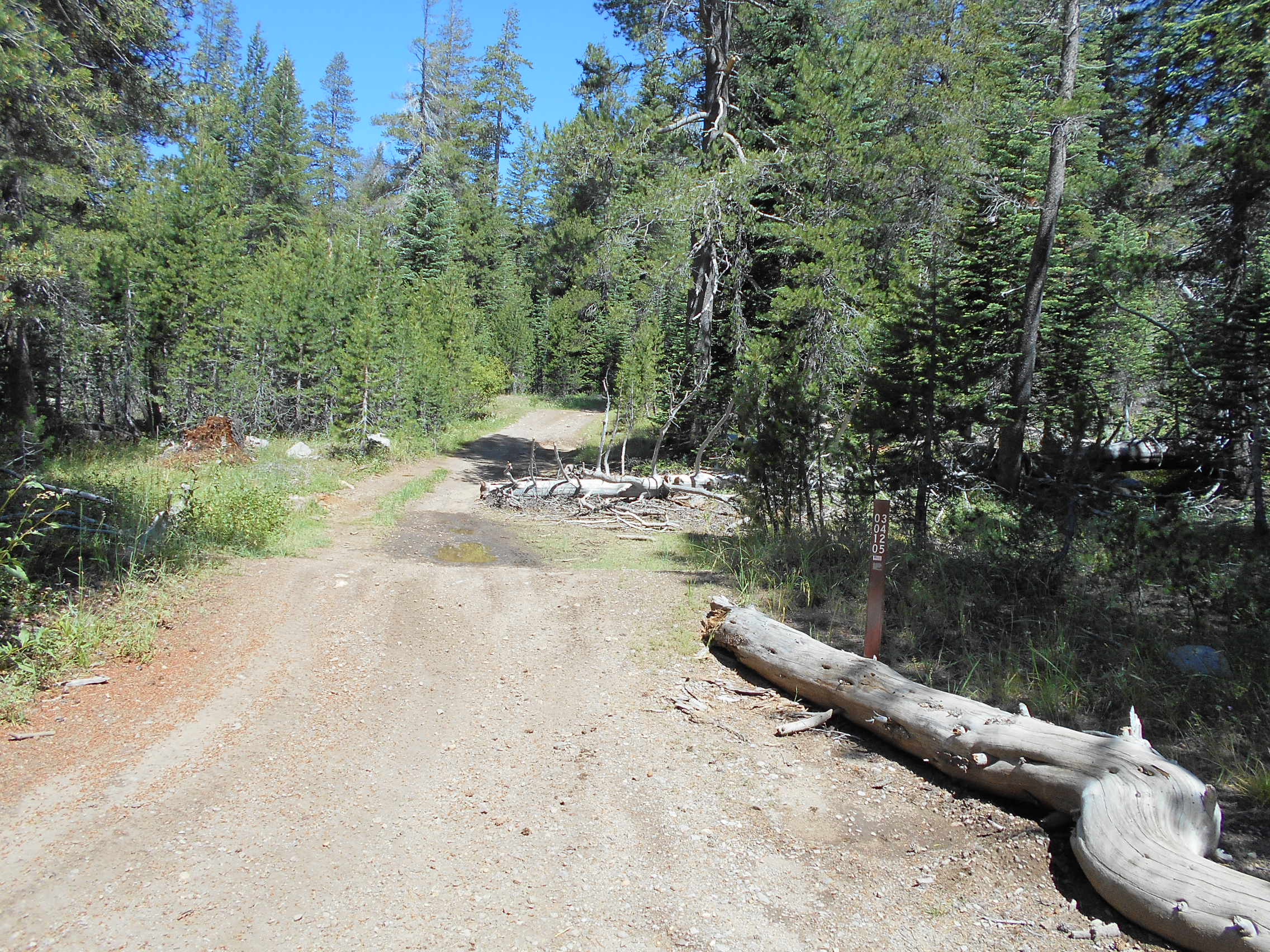
The next marker was for the intersection of the Rubicon and Barker Pass Road. I’m still working on getting the Rubicon signed as it’s a county road not really a forest road. The FS sees the importance of properly marking trails and will get me the needed marker. Hopefully, next week.

More markers were placed and are on the way in order to make sure the users know where they are on the trail system.
The last task was the removal of some trash. It looked to be an old hunters shelter and some milk crates for chairs:


The TNF allowed me to dump the trash in their dumpster.
It really was a good day on the trail. And with the jamboree going on, I was entertained over the ham radio.
Meeting with the LTBMU Supervisor
Posted: July 6, 2015 Filed under: Access, Maintenance | Tags: access, education, law enforcement, LTBMU, Middle Fork Trail Leave a commentThis afternoon, I sat down with Jeff Marsolais, the forest supervisor of the Lake Tahoe Basin Management Unit, for a half an hour. When I say half an hour, I mean 30 minutes, almost to the second. I got 30 minutes in the seat in his office. I had three typed pages of notes to get through so I talked fast. But that’s easy for me.
Although he didn’t have time to respond to all the issues I brought up, he said he’d get back to me. So, what did I bring up? Here’s a brief outline of topics:
Who is the OHV lead for the LTBMU?
Should be full time and year round but not 100% OHV focused.
Needs to be pro-OHV not just someone doing the job.
We need consistency and quicker responses from the LTBMU.
AAT agreements and paperwork
The Forest Service needs to be quicker and proactive on approaching and supporting clubs willing to adopt
Rubicon Trail
Limbs cut off years ago need to be removed or chipped
The main sign at the staging area
Staging area maintenance
Recreational Opportunity Guide – finish it or drop it
General signage along the trail, paved and dirt sections
Other trails
Buck Lake Trail
Twin Peaks
Middle Fork Trail
Funding
CA State Parks – start writing next years now, include more people in the process
Recreational Trails Program (RTP)
Foundation Grants
How did the Corral Trail get a full time, eight person crew to work that trail since the OHV grant fell through?
He did say he might be interested in a ride out on the trail to see first hand what’s going on. That would be a great education for him!
This one meeting won’t end these issues but now we all know the main guy at the Basin has been told how all those underneath him have dropped the ball over the years.

