
Rubicon Oversight Committee meeting
Posted: February 22, 2020 Filed under: Access, Maintenance | Tags: access, El Dorado County, ENF, Grant funding, LTBMU, maintenance, Placer, TNF Leave a commentLast Thursday, 2/20/20, El Dorado County held a Rubicon Oversight Comittee meeting in South Lake Tahoe. Here are my notes…
Rubicon Oversight Committee meeting
February 20, 2020 South Lake Tahoe
Vickie Sanders & Justin Williams El Dorado County Parks & Trails
Nineteen in attendance: eight users (six Hi-Lo’s & two Tahoe Donner 4-Wheelers) the rest were agency representatives
Not being a professional secretary, I’m just going to type out the notes I took:
Adopt-a-trail
16 segments within El Dorado County, one available for adoption, Buck Lake area
Holding off on adoptions of the Placer side until the major fixes have been completed
Memorandum of Understanding (MOU)
Many agencies have come together to agree to support management and maintenance of the Rubicon Trail:
El Dorado County Placer County
Eldorado National Forest Tahoe National Forest Lake Tahoe Basin Management Unit CA State Parks – OHMVR Division
Vickie Sanders is THE point of contact for all things Rubicon. She will get you in touch with the right person for you question/concern.
Rubicon Trail Foundation
RTF has donated $32,000 for ten hours of helicopter fly time to fly rock in to the trail where it is needed:
Cadillac Hill (gabions to be built on site) Swamp area near Miller Creek Hardening of rolling dips
Grants
Grants are to be written as if the trail is under the management of a single agency. This year CA State Parks wanted letters from each agency but in the future the MOU will prevent that need.
Reroute & Cadillac (not the same issue)
Plans are in the works to reroute the Rubicon Trail away from the section where the trail is about to fall off in to Miller Creek. There are old logging roads that will be used for the reroute. Part of the current grant is to do the studies needed to make this happen. This year is planning, next year is approvals, maybe to be completed in 2022.
A historical analysis of the Placer County section of the trail is just one of the studies that will need to be completed before the reroute and before ANY major work on the trail.
El Dorado County’s system is to do “major” work on the trail every other year. This give the county time to plan for future major projects and to catch-up if a “major” project drags out. 2020 is a “major” year as Cadillac Hill will see “major” work.
The Staging Area
The LTBMU received a grant to pave the staging area four years ago. That grant expires in Sept of 2020 and wasn’t enough to cover the cost of paving. With the new MOU, the Basin has reached out to El Dorado to get more money to fully complete the work. This will include expanding the size of the parking area. It also means the taking down of the trees currently within the parking area.
To Do’s: El Dorado & Placer
There is a small to do list on the El Dorado County website. Anyone, any group, can sign up to complete any of those projects.
Winter issues
There have been talks to pave the quad rental parking/staging area. This could lead to a snow removal contract (paid for with OHV funds) to access that parking area all winter long. Just talking right now.
Placer is still working on addressing the snow berm in Tahoma.
Outhouses
El Dorado County is having an F550 built to be the new Poo Pumper. RTF will no longer be contracted to do poo removal. The County has a poo pumping trailer as a back-up.
Ham
The Spider Lake repeater has been down off and on for some time. Tim Green has a separate repeater on his property that uses the same frequencies.
Tim Green also runs the “Rubicon Gazette” Facebook page. That page seems to be THE place to go for updates regarding the Rubicon Trail.
Jeepers Jamboree events
Jeepers Jamboree must now permit with the Tahoe National Forest and the Lake Tahoe Basin Management Unit as Placer is now not managing the Rubicon. This could lead to possible closures and/or restrictions of the trail within Placer County.
Please contact Joe Chavez is you have any comments, questions or concerns about these possible restrictions.
Maintenance levels
The TNF is also looking for input about the maintenance level the Rubicon will receive. That could be in the form of what type or level of rig should the trail be maintained. As an FYI, the Fordyce Trail is maintained to a level that a competent driver, in a rig on 35” tires and one locker will face a ‘challenge’ but be passable.
Again, contact Joe is you have an opinion.
I tried to do the best I could but I’m sure I missed something or made an error. Please contact me or Vickie is you have questions or see a mistake.
Thanks,
Doug
Richardson Lake Trail re-route!
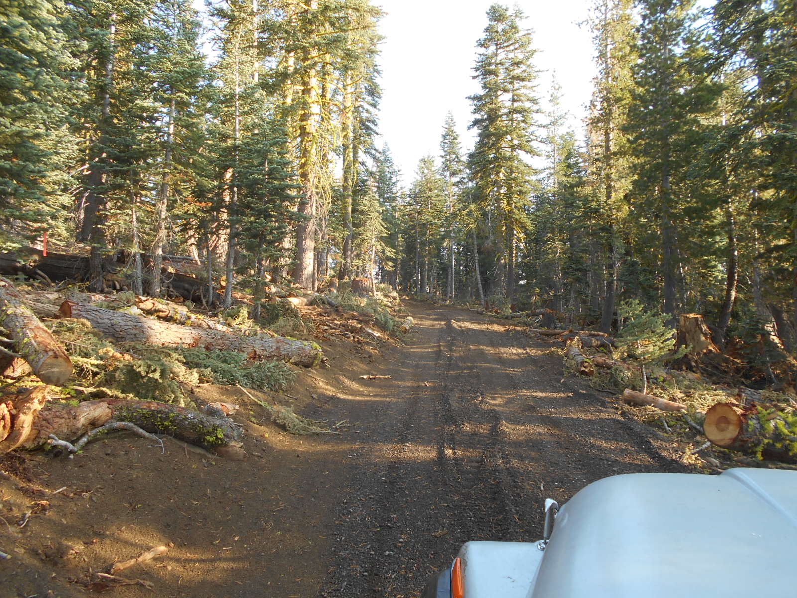
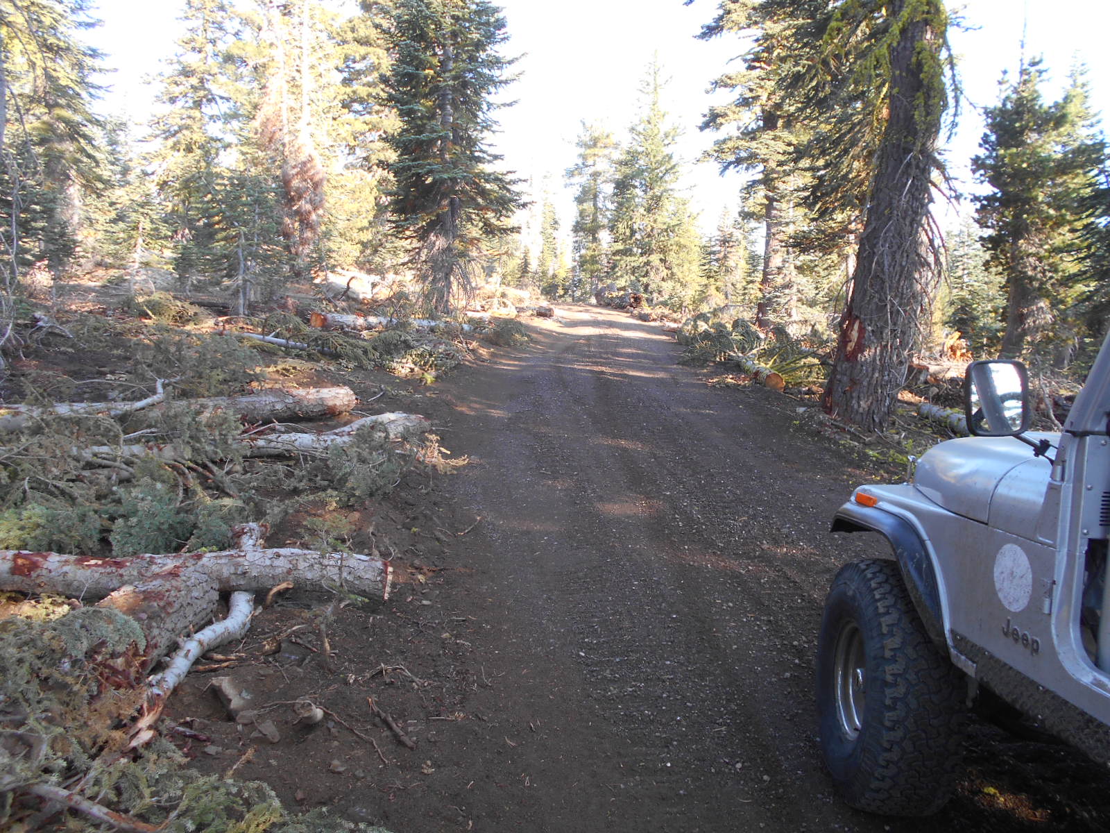
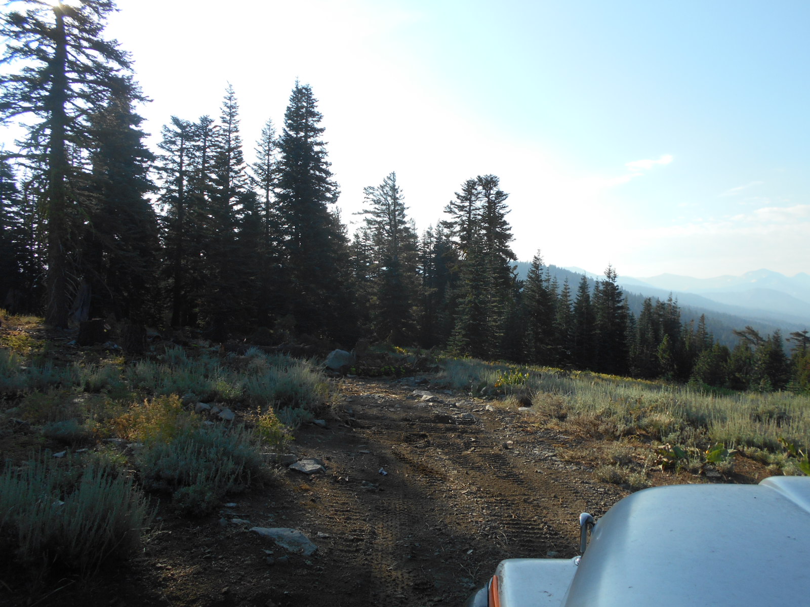
Posted: September 6, 2017 Filed under: Access, Maintenance, Travel | Tags: education, ENF, erosion Leave a commentYesterday, I received an email from a forest service employee boasting some great trail work on the Richardson Lake Trail up to Sourdough Hill. The only pictures he included were those of trails demolished and covered in trees and brush. I was horrified!
The series of pictures looked like this…

The next morning, I was up at 5:15am and out by 6:15am to get to the trail to see what the Forest Service had done to one of my trails.
Although the Forest Service had blocked off the last climb to the summit of Sourdough Hill, they had put in a switch back and more than a quarter mile of new trail.
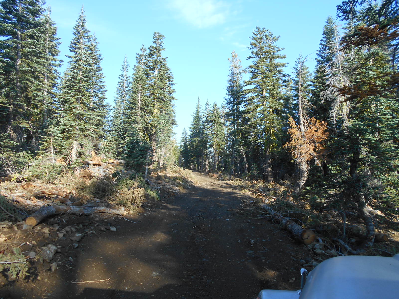
For those of you who’ve never been there, here is a photo of the old route. This does not give you the idea of how steep this trail was originally. The ruts show previous wheel spinning and rain runoff causing erosion.
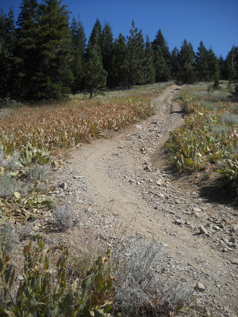
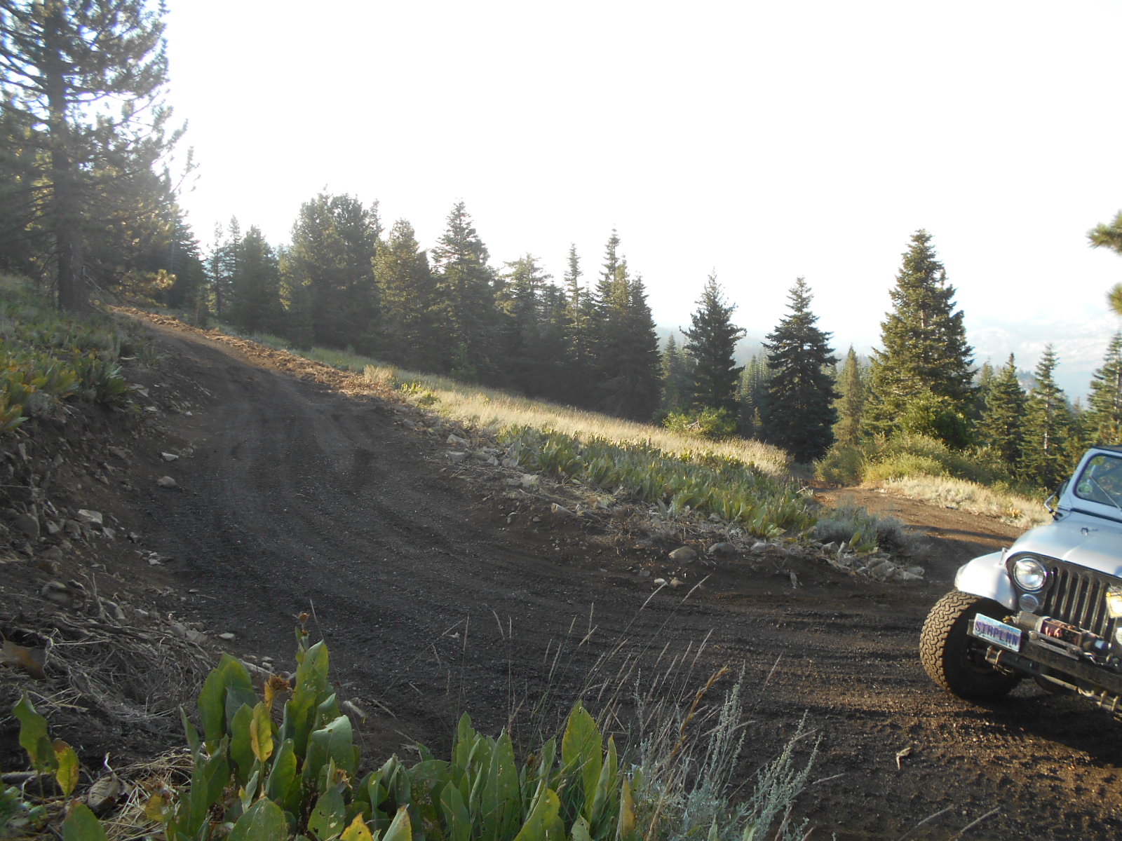
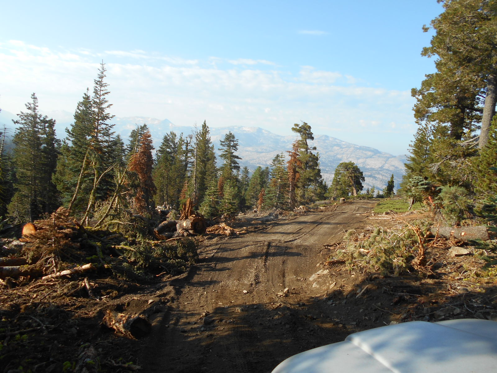
The old trail can be seen on the right side of the next picture, the new route goes from left to right in front of my Jeep. This reroute was warranted as the old route was a steep, loose, rocky, rutted trail that was causing erosion and was not safe as shown in the previous picture.

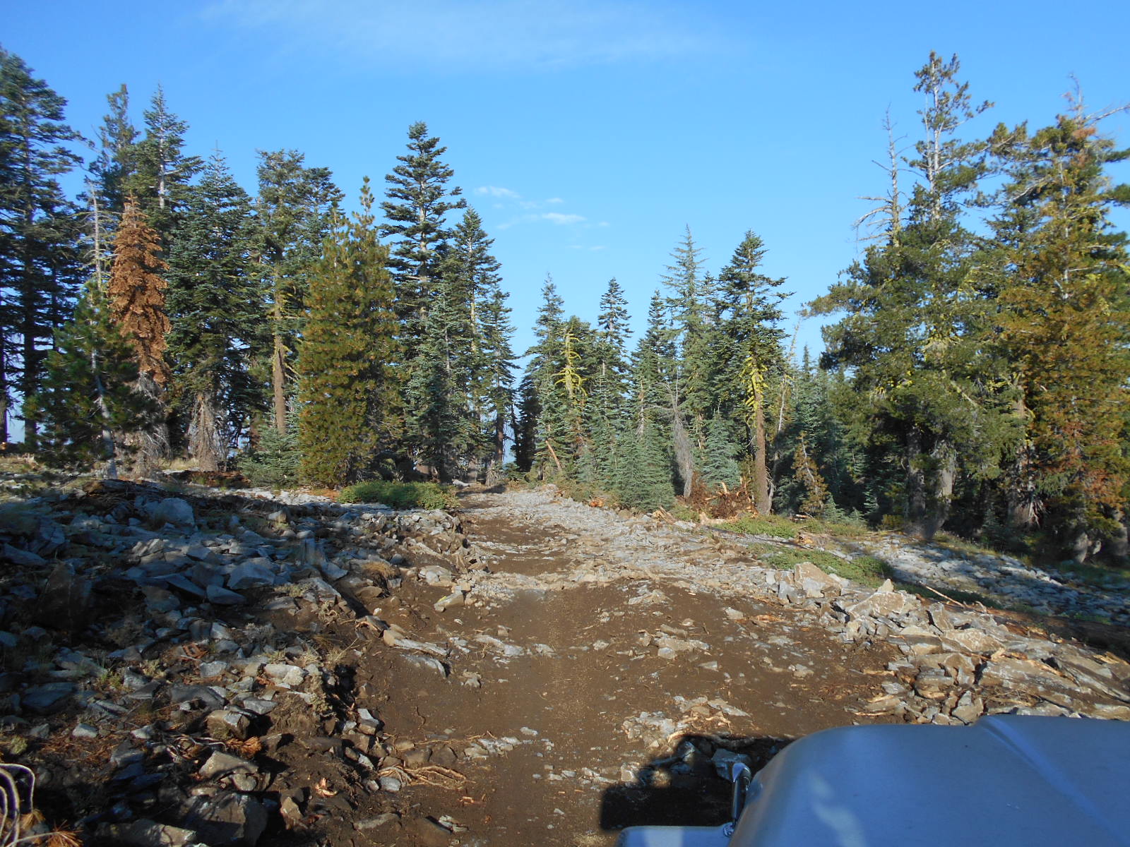
A better look up the trail after the switchback…

Here is another look up the blocked off ‘hill climb’…
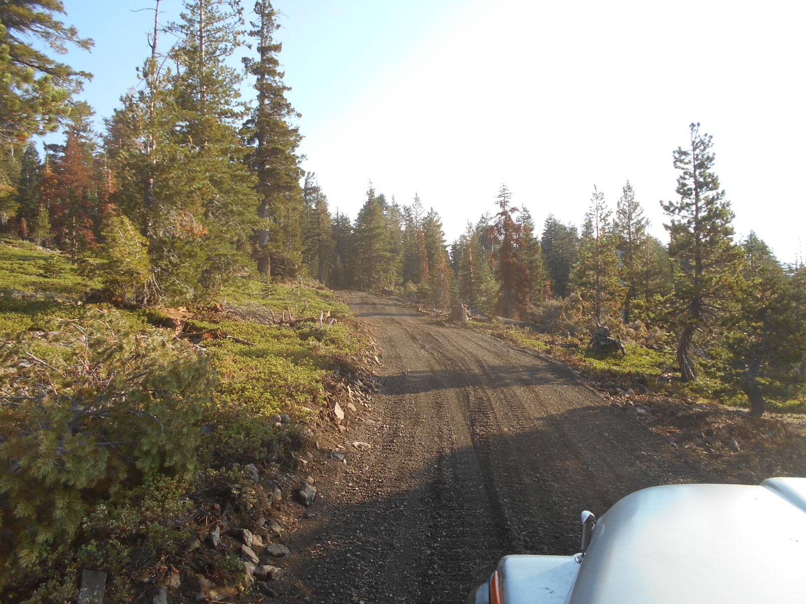
Up from the switchback…
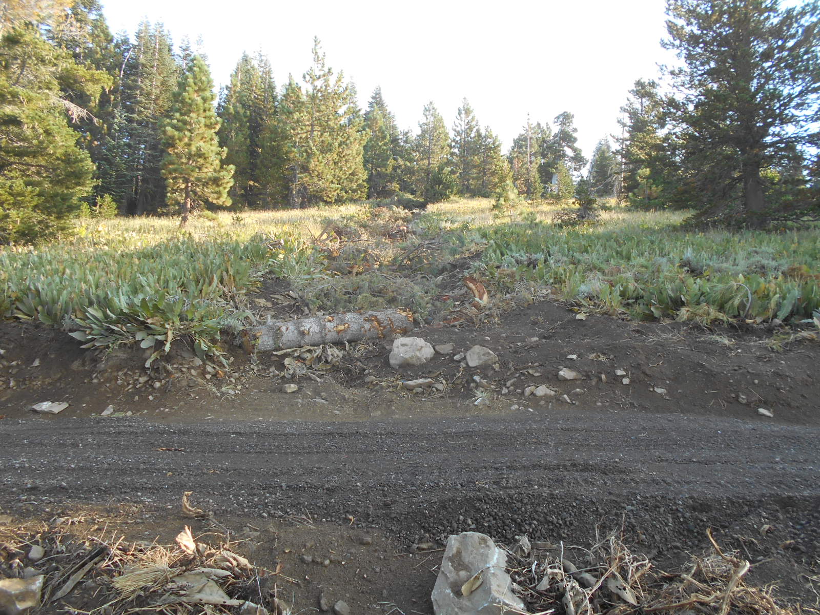
Back in to the trees. Note the trees cut down in order to create this new trail.
Nearing the summit. Those familiar with the trail should know the radio hut is to your left in this picture. You used to come up to the summit with the hut on your right.
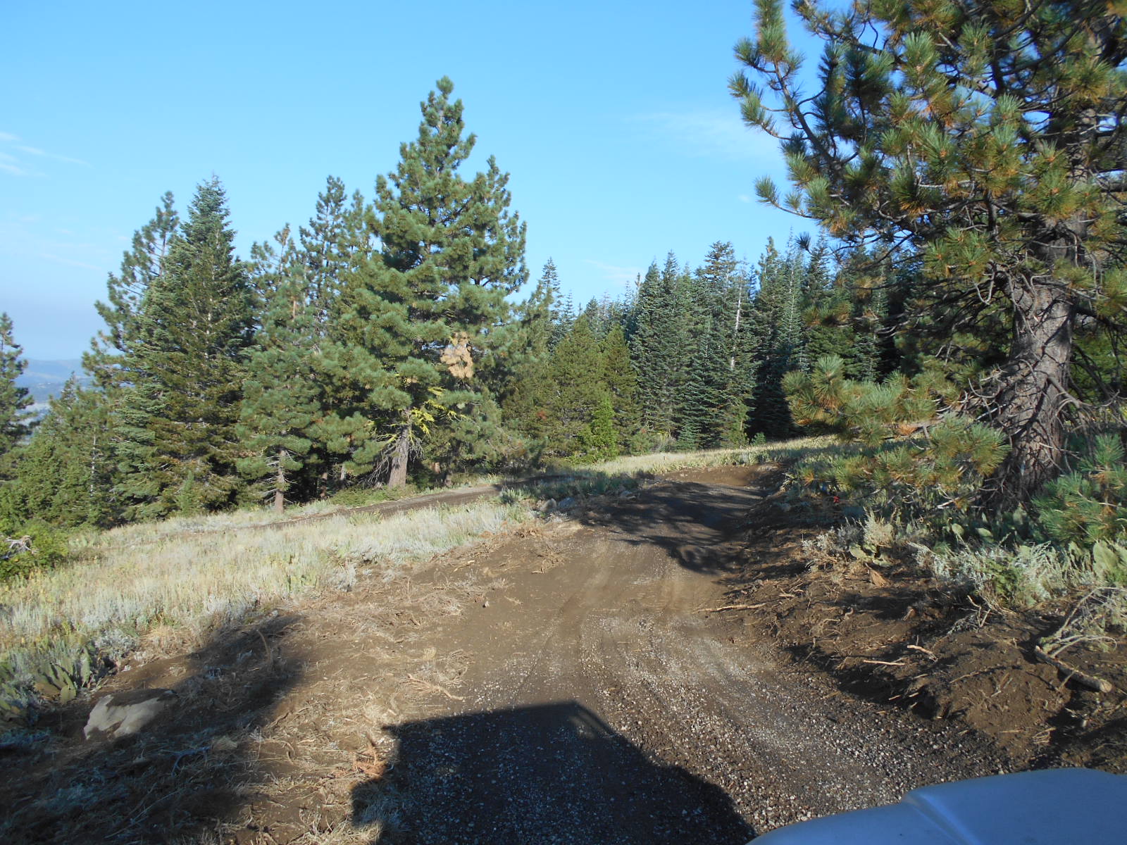
The parking area is the same as before you just approach it from the bottom not the top.
Here is a shot of where the trail used to come up. (The radio hut to my left.)
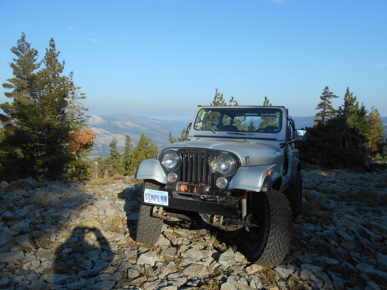
Poser shot at the summit! A selfie if you count the shadow.
Views on the way down.

Hats off to the Forest Service for the reroute but I need to talk to my contact about communicating the entire story with more pictures.
Rubicon Ronin
Deer Valley Trail to reopen in 2017!
Posted: December 1, 2016 Filed under: Access, Travel | Tags: deer valley, ENF Leave a commentThe Eldorado National Forest (ENF) has finalized the decision to reopen the Deer Valley Trail. It will reopen after the a short period of time after the snow melts. This will be a scientific timeframe not one determined by the USFS.
Here is the cover letter:
Dear Interested Citizen:
As the Responsible Official, I have signed the Decision Notice/Finding of No Significant Impact (DN/FONSI) selecting Alternative 3, the modified seasonal closure, for the Deer Valley 4wd Trail Meadow Restoration and Blue Lakes/Meadow Lake Road Maintenance Environmental Assessment (EA).
Details of the Deer Valley 4wd Trail Meadow Restoration and Blue Lakes/Meadow Lake Road Maintenance Project, including the DN/FONSI, EA, and specialist reports can be found on the Eldorado National Forest website at: http://www.fs.fed.us/nepa/nepa_project_exp.php?project=45439 or http://www.fs.usda.gov/projects/eldorado/landmanagement/projects. To obtain a hard copy of the DN/FONSI or EA, please contact Matt Brown, IDT Leader, 530-647-5390 or mrbrown@fs.fed.us.
The Deer Valley 4wd Trail (19E01) will be reopened immediately as conditions permit. The Blue Lakes/Meadow Lake Road (9N01) would be reopened and added back to the Motor Vehicle Use Map (MVUM) after the corrective actions are implemented to bring routes in compliance with S&G 100. These corrective actions are anticipated to be completed in summer/fall 2017.
For additional information concerning this decision, please contact: Matt Brown, Placerville Ranger District, 4260 Eight Mile Road, Camino CA 95709, Phone: (530) 647-5390 or Email: mrbrown@fs.fed.us.
Thank you for taking the time to read this information and for your continued interest in the management of National Forest System lands.
Sincerely,
/S/ Richard G. Hopson
RICK HOPSON
District Ranger
This is the full eleven page decision:
final-dn_fonsi_deervalleymeadowlakerd
Eldorado closes OHV trails early
Posted: November 30, 2016 Filed under: Access, Travel | Tags: ENF, TNF Leave a commentThe Eldorado National Forest has put out the following press release closing its OHV trails on December 1st, tomorrow. For us that means the Richardson Lake Trail but it applies to most all OHV trails on the ENF.
This is unfortunate as the Richardson Lake Trail is covered with snow and not susceptible to damaging the soils under the snow. Maybe in future years we can ask to have the Richardson Lake Trail remain open as an over the snow route for ‘wheeled’ OHV use.
Trails within the Lake Tahoe Basin Management Unit (LTBMU) are also closed for the season but the Tahoe National Forest (TNF) has not posted any early closing yet. The trails on the TNF are scheduled to close January 1st.
Rubicon Ronin
|
|||
|
|||
|

 News Release
Deer Valley decision by ENF
Posted: September 29, 2016 Filed under: Access, Maintenance | Tags: ENF, maintenance Leave a commentHere is the email I recently received from the ENF regarding the Deer Valley Trail:
You are receiving this email to inform you that a Draft Decision Notice and Finding of No Significant Impact (FONSI) for the Deer Valley 4wd Trail Meadow Restoration and Blue Lakes/Meadow Lake Road Maintenance Project has been prepared and is available for your review. See attached cover letter.
The Draft Decision Notice and FONSI, Environmental Assessment (September 2016), and Specialist Reports can be found on the Eldorado National Forest website at: http://www.fs.fed.us/nepa/nepa_project_exp.php?project=45439
This proposed decision is subject to objection pursuant to 36 CFR 218. See attached cover letter for more information on the administrative review process. The legal notice announcing the opportunity to object to the proposed decision is anticipated to be published in the Mountain Democrat on September 30, 2016.
Please let me know if you have any questions. Thank you.
Matt Brown Botanist
The next step is a 45 day “objection period”. After that, Crabtree has to issue a final decision. Unfortunately, they can and will delay enough to postpone the re-opening of the trail until next season. The season officially ends Jan 1st but will most likely it will be moved up because of wet conditions.
Cover letter to object link:
coverletter_opportunitytoobject
So, next year, six weeks after the snow melts at the weather monitoring site, the trail will open. Historically, that will be mid-July although it could be as early as late June or as late as mid-August.
I have asked the ENF if we can perform trail maintenance this year on the approaches and departures to both creek crossings. This would allow the work to harden over winter, a common FS practice. The ENF has not replied to my emails.
Stay tuned

