
New Tri-MVUM map for Rubicon area
Posted: January 27, 2015 Filed under: Access, Travel | Tags: El Dorado County, Placer, Rubicon Leave a commentIt’s only a first draft but here is a new map of the Rubicon Trail area:

This map combines the three Motor Vehicle Use Maps (MVUM) from the Tahoe National Forest (TNF), the Eldorado National Forest (ENF) and the Lake Tahoe Basin Management Unit (LTBMU). This issue only comes up on the Placer side as the ENF MVUM map covers the entire Rubicon on the El Dorado side.
This map will provide the users with a guide to side trails in the area from Blackwood Canyon to Sourdough Hill. This map is provided for reference only. It is not intended to be used to navigate. Most of the trails listed on this map are seasonal use only, for wheeled motorized vehicles. It is the users responsibility to know when the trails are open for use.
The backside of this map has user information including trail names to go with the FS trail numbers, ham radio frequencies and contact information for Rubicon agencies:
As I said, first draft. This version started as a scan of the three MVUMs. Not a great quality to start with. As I’m new to Photoshop, the resolution was not set to the optimum setting. I’m already working on a new map, from the online FS maps, that should be of good enough quality to enlarge to a size suitable for the trailhead sign.
Although the forests involved would probably rather see ALL the data left on the maps, in future drafts I’m going to eliminate some of the clutter, including all the labeling of the really short trails. That would be all the 003-004-07 kind of numbers.
The LTBMU labels private property vs forest lands differently than the other two forest. Not noticeable in this version. The border between the forests gets a little lost but is the solid black line. No lines for the two counties. The two wildernesses are marked but only one is labeled. Again, first draft. The different forests use different styles to mark the OHV trails. I tried to get the LTBMU and the TNF the same but I’ll wait for the next draft to make the ENF trails look the same.
As crude as this first draft is, these fliers are currently available at the Tahoma Staging Area.
I wanted to get these out so I could get some feedback on the idea. Please let me know what you think these maps need to make them worth while.
Thanks!
Placer contractor finishes grant work
Posted: October 31, 2014 Filed under: Maintenance | Tags: grant, Placer, Rubicon Leave a commentLast year, Placer County was awarded a $294,000 OHV grant through the CA State Parks OHMVR program. The work funded by that grant was recently completed. Although the funding didn’t cover everything on the to do list, it was a step in the right direction.
Along the paved portion of the trail between the residential area and the staging area, a dozen or so spots of asphalt were cut out repaved. At the same time, the low spots along the edge of the road, particularly the inside turns, were filled in and compacted. This will provide a smoother and safer ride as trailer tires will not drop off the edge of the road.


More importantly, additional low spots along the trail were filled in. The primary scope of this portion was from the TNF/LTBMU border to the intersection of the Rubicon Trail and Forest Road 03-04 (Barker Pass Road).
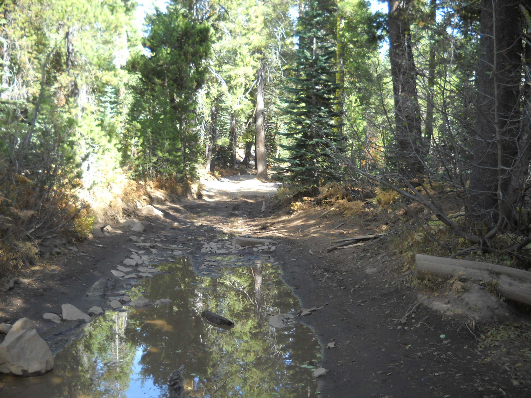
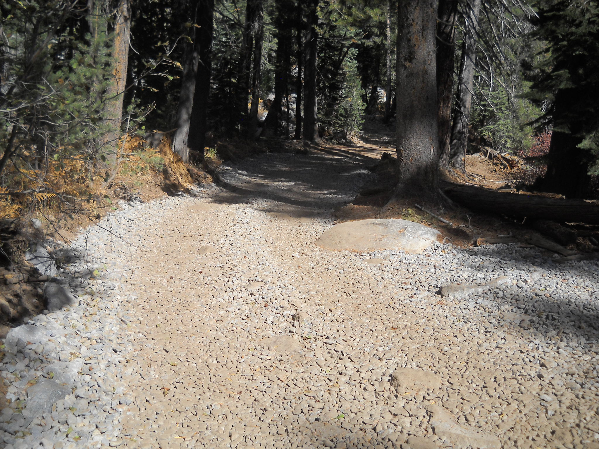
Here are two pictures from an area right along Miller Lake. In the first two pictures you can see the standing water on the trail. The second photo shows the attempts of those who didn’t want to drive/ride through the water. That illegal bypass as been blocked off.
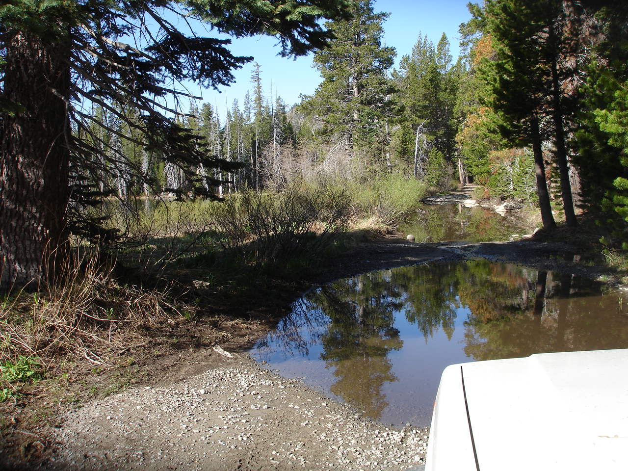

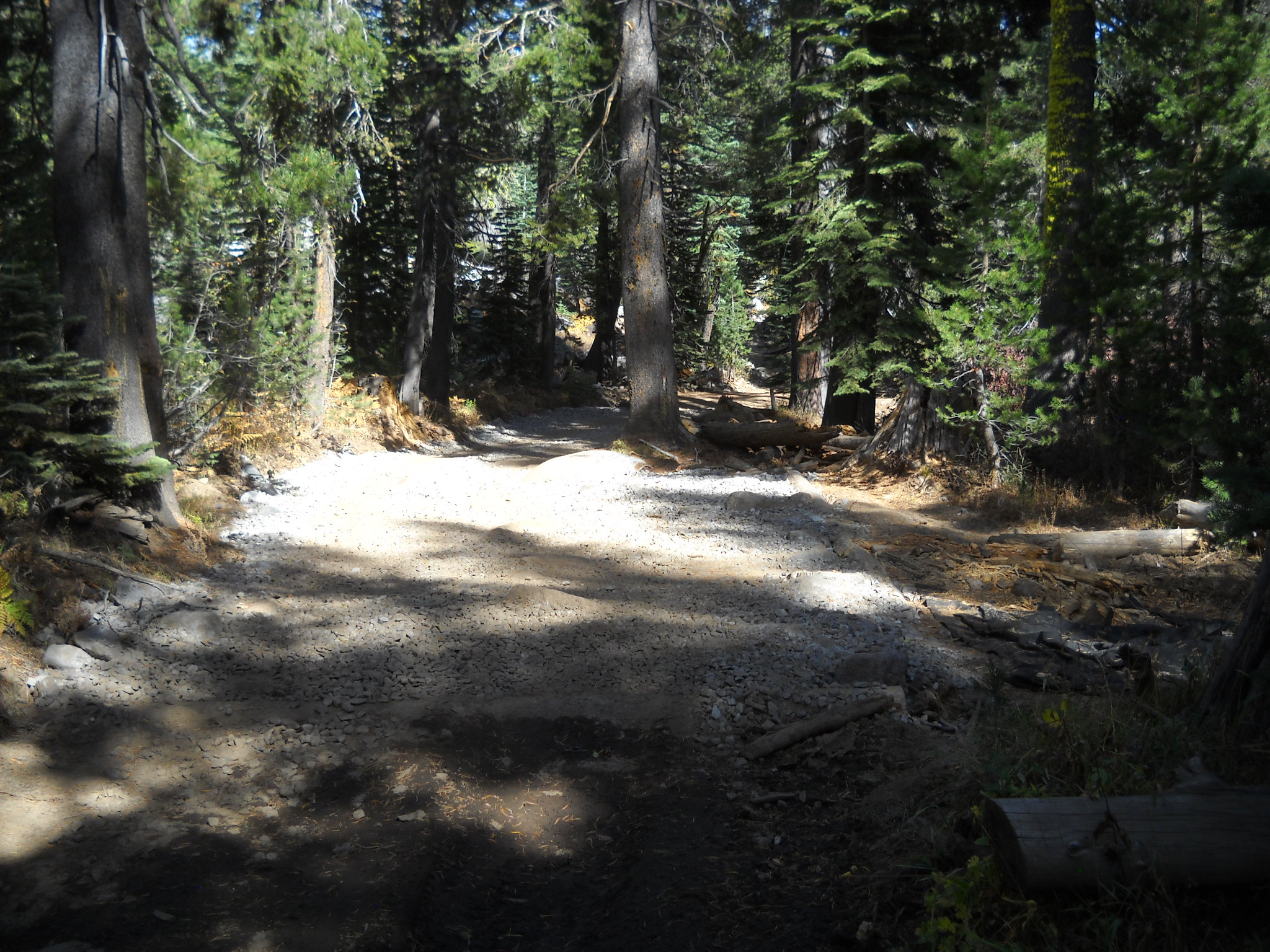
This picture shows the same route (different angle) filled in to prevent any water from pooling on the trail. This will keep the mountain bikes, motorcycles, quads and side-by-sides on the trail.

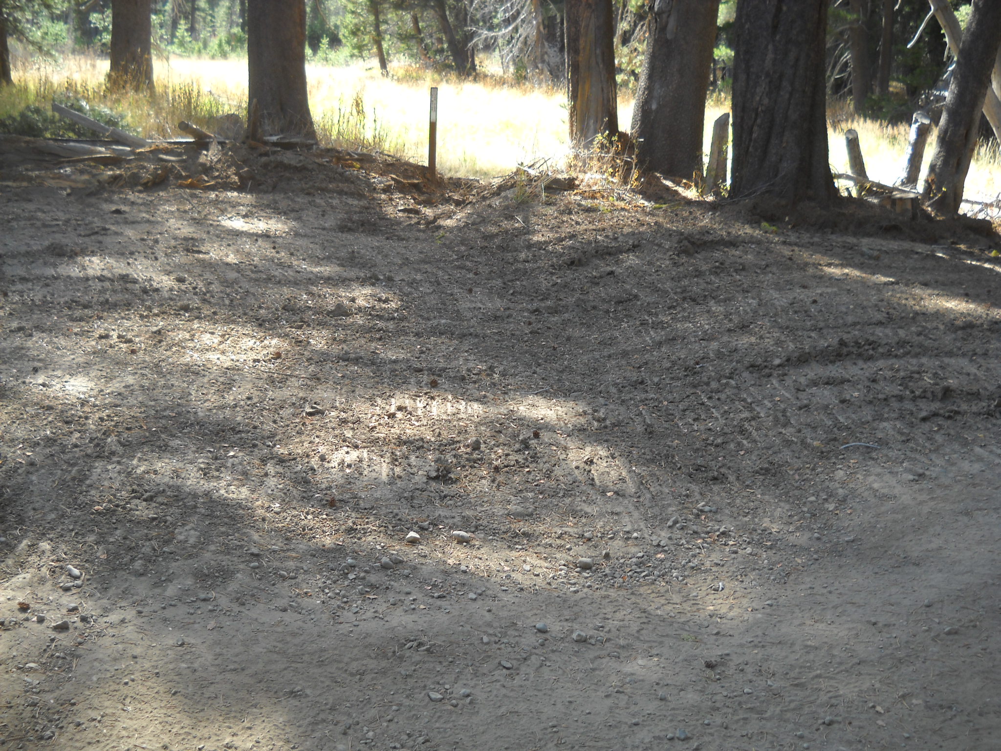
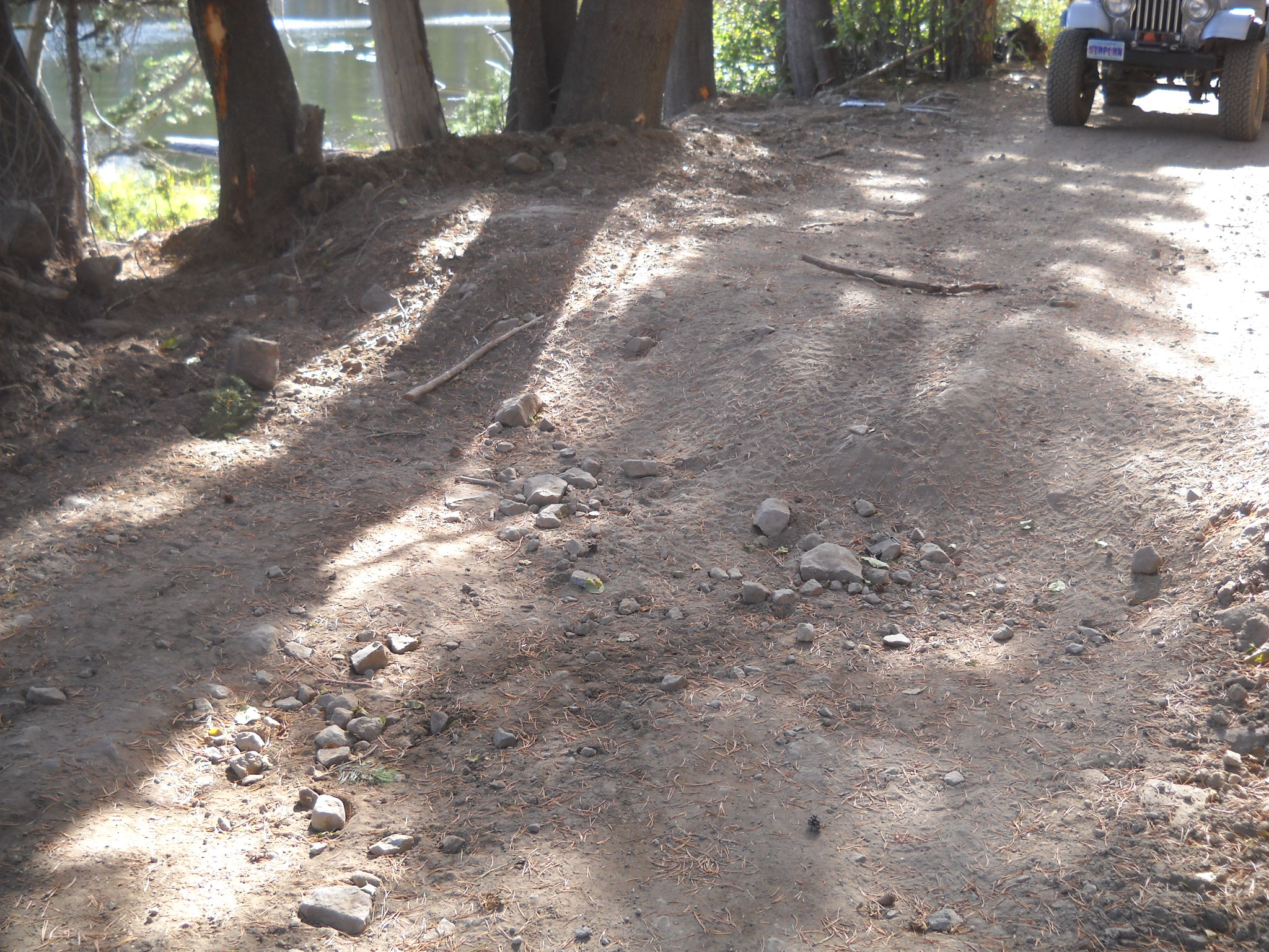
Further down the trail, just before the Range Fence, there was a HUGE water hole. The signs on either side cautioned that the bottom was bumpy but not muddy and it was only about a foot and a half deep. Those signs kept most people from driving off trail. The Range Fence stopped the rest.
Before:

After:
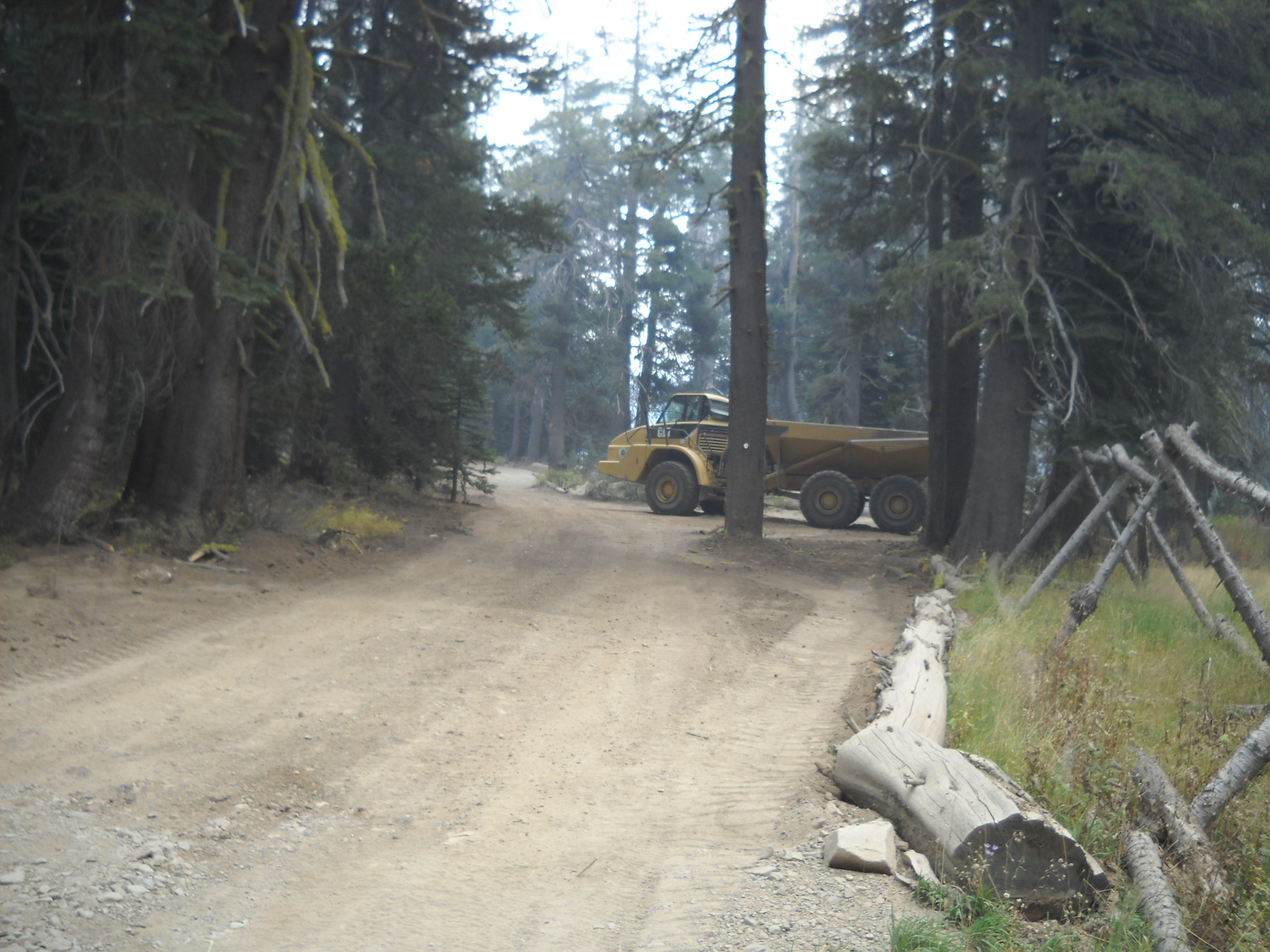
Sorry that these photos all seem to be from different angles. But you get the point. A lot of dirt was moved on to the trail to build up the low spots. Approximately 1000 cubic yards of dirt was placed at this spot alone. Future work might include armoring some of the still vulnerable areas.
The one spot outside the scope that received a great deal of work was the old Mud Hole west of the Potato Patch. A few years ago, the Lake Tahoe Hi-Lo’s lead an FOTR effort to fill and drain the water hole. We moved almost 80 yards of rock to armor and raise the bottom and trenched a drain away from the trail. The final effort lower the water level by several feet.
This spot was still a concern as water would still pool, so Placer drew up specific plans to fill in more of the hole, further armor the bottom of the hole (and drain) and re-establish the drain in to the forest.
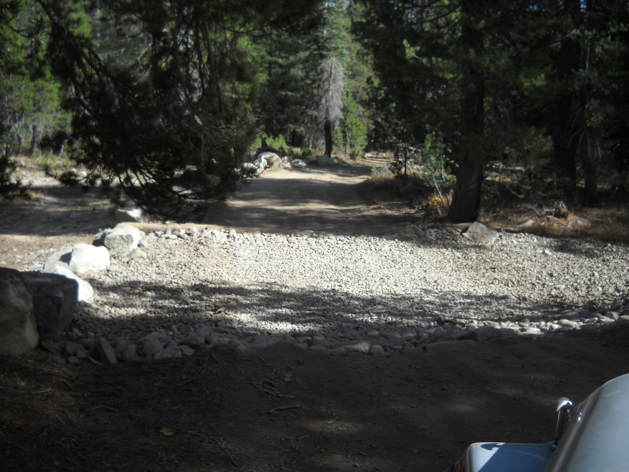
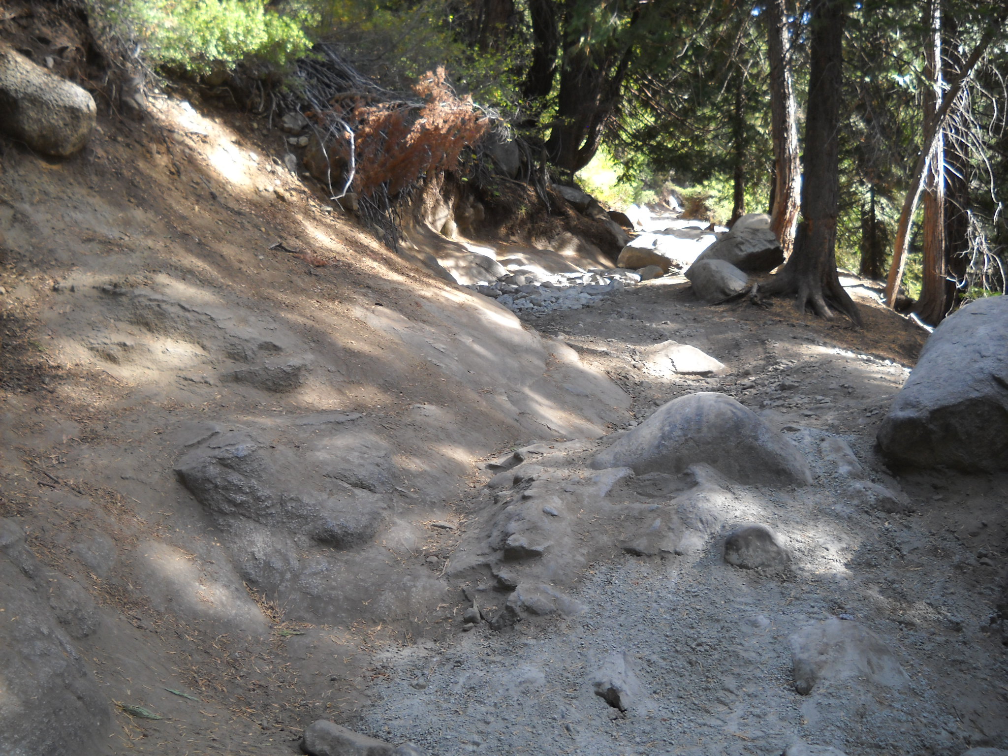
So, here is the current view from the west. The old bypass is to the right. In the distance you can see the fill material.
Here is shot from the trail looking down the drain. The rock in the photo is the sediment trap lined by the contractor.

This rock will be used to line the rest of the drain area. Hopefully before winter sets in.

So, if you hadn’t noticed, the fill material came up a little short. The contractor maybe got half way. We think he calculated enough material to line the mud hole then ended up trying to fill the mud hole. This project will have to be revisited next season.
A close up of the area that was filled to the rim.
One of the last pieces to this puzzle was to create several rolling dips and drains along the trail to further prevent water from pooling on the trail. Here are some examples:
Even the outlet of the seasonal pond at the Ellis Creek Trail got lined:
Unfortunately, not all project get done perfectly. This project is no exception. As I said before the mud hole needs more fill material and there were a few seasonal creek crossings that did not get rolling dips. Things that are easily finished next summer.
Jeepers Jamboree works Cadillac Hill
Posted: October 16, 2014 Filed under: Maintenance | Tags: maintenance, Placer, Rubicon Leave a commentLast weekend, Jeepers Jamboree folks organized, staffed and completed a maintenance effort at the Hairpin Turn on Cadillac Hill. Just after the apex of the turn, there is a climb that has a granite slab that slopes down from left to right but on the right side there is a rock that sticks up.
Over the years, the approach to this obstacle has eroded away deepening the channel down the middle of the trail and more so on the right side. The last time I was on the trail, prior to the fix, the right side was under-cut to the point my 35″ tire wouldn’t climb it. I had to back off and throw a few rocks in the hole in order to make it up that section.
Well all has changed. I don’t know how many bags of concrete were used but the channel and the hole were filled in with concrete and rock. Over this winter and after a few dozen rigs, it will get dirty and most travelers won’t even know it’s there. Points to Placer County and the OHV grant for supplying the concrete.
This is one of many spots on Cadillac Hill that is being held together with concrete. There is concrete at V-Rock, the Notch, Morris Rock and many point in between. It is needed to maintain the trail and to keep the trail safe for travelers.
Thank you Jeepers jamboree for a job well done!

Trailers on the Rubicon
Posted: July 20, 2014 Filed under: Maintenance, Travel | Tags: recovery, Rubicon, trailer Leave a commentA few years ago, the Lake Tahoe Hi-Lo’s, working with FOTR, moved more than 70+ cubic yards of rock to fill “The Mud hole”.

Last weekend, a group of volunteers moved 16 cubic yards of gravel (with road base and a binder), up the Richardson Lake Trail. Many projects in between have used trailers.
Just about everything you can imagine have been hauled along the Rubicon with a trailer, okay, almost everything. Even people down the river…
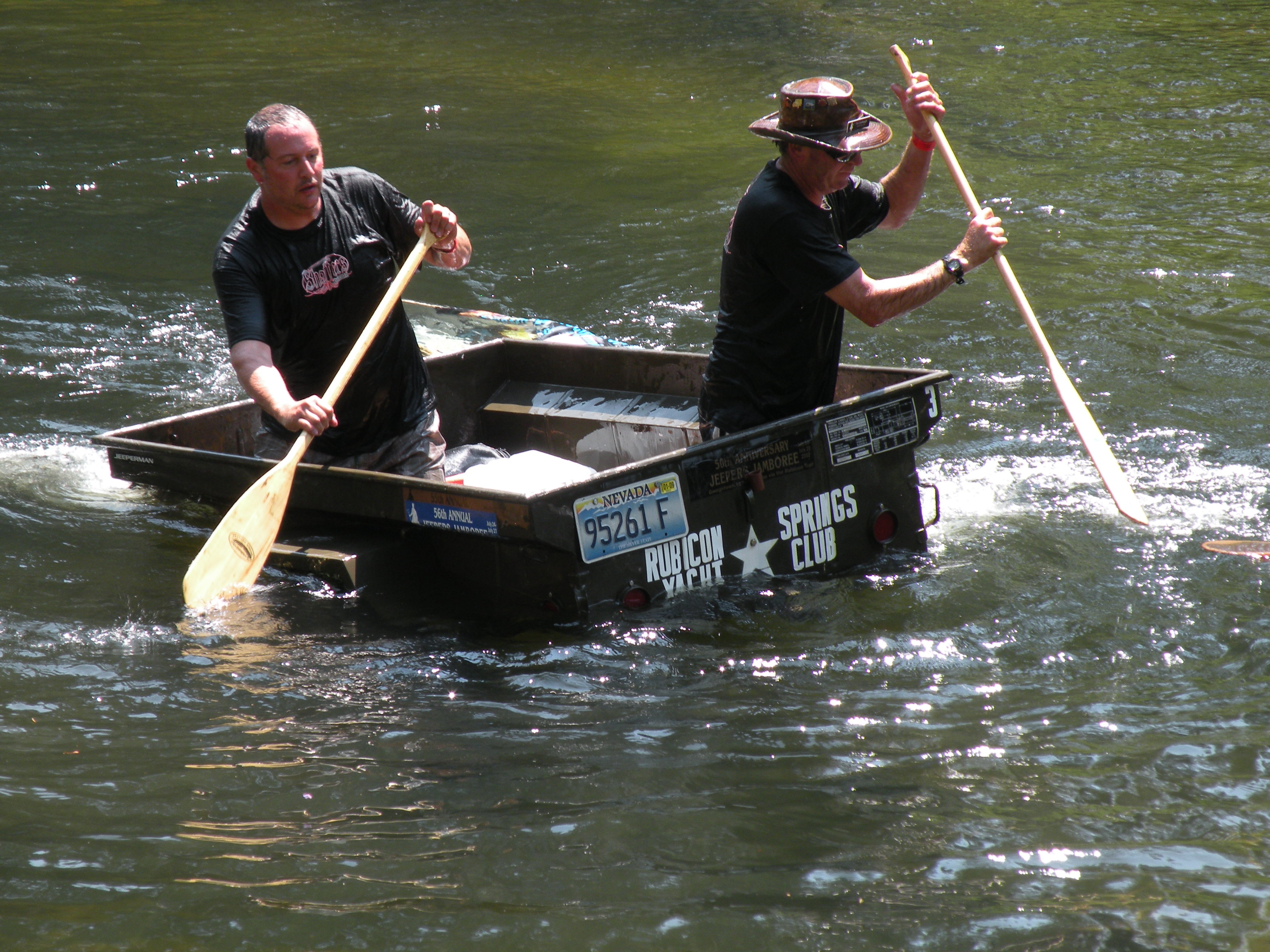
Hi-Lo’s in the trailer races at Jeepers Jamboree!
Trailers are so important to the Rubicon and its maintenance that RTF used an OHV grant to buy six of them. They were featured in a previous post. (RTF Trailers)
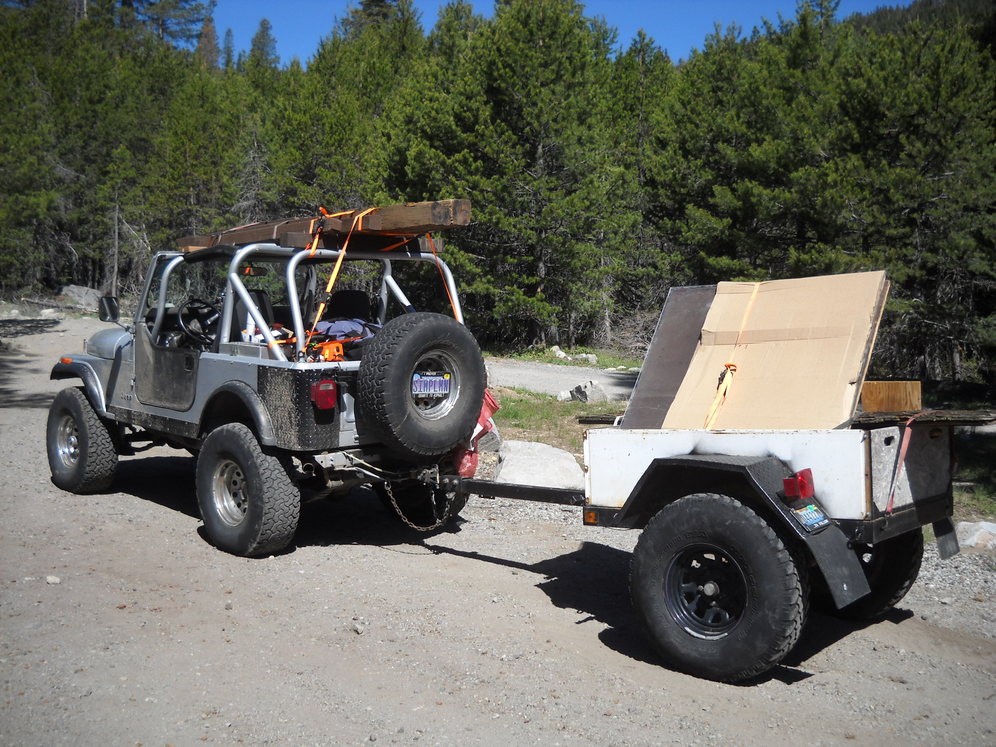
Over the last few days, FOTR moved 90 bags of concrete to Cadillac Hill for a project they did this morning. I helped out a week earlier by taking a trailer load of concrete to just above Morris Rock.
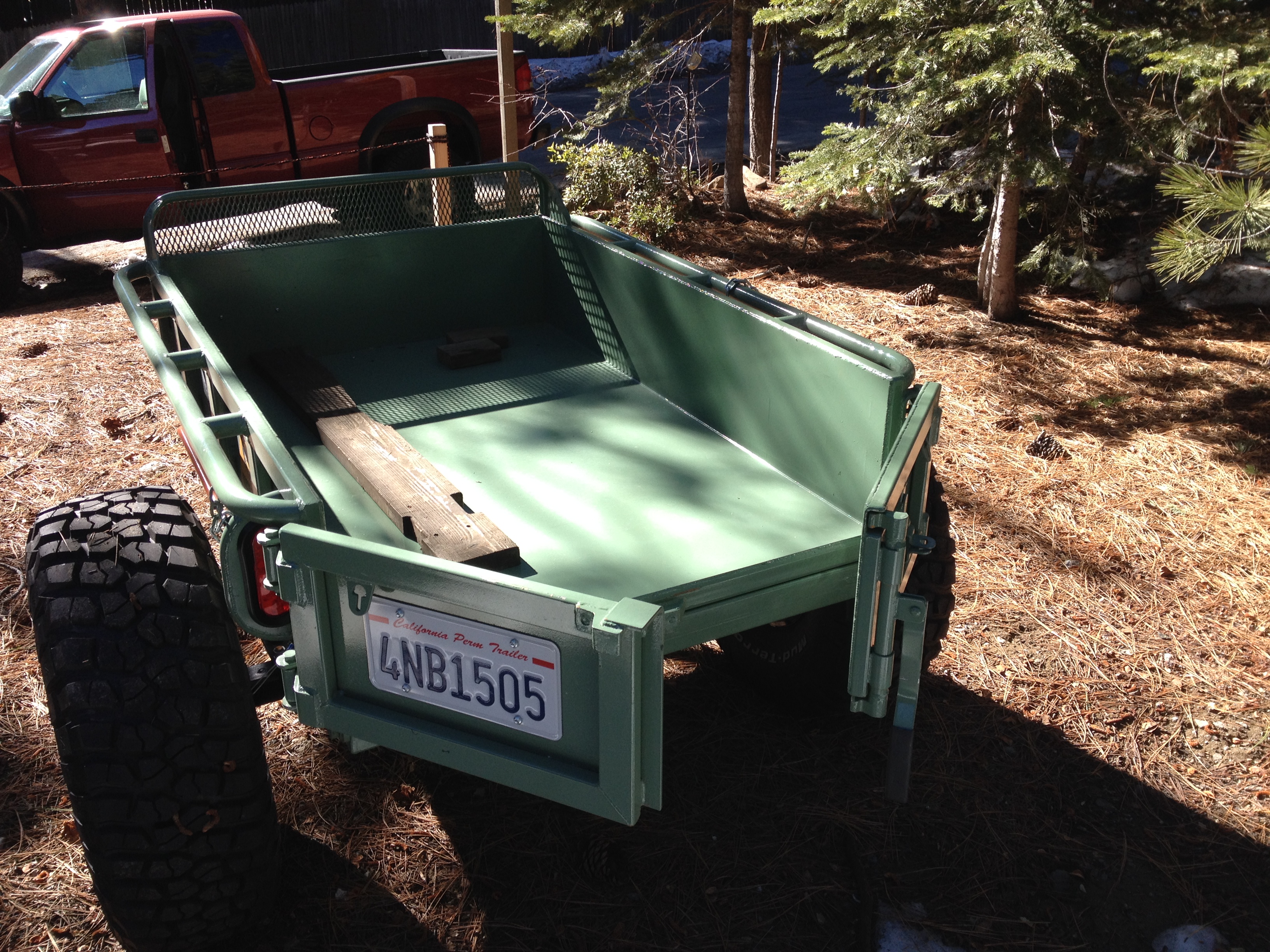
The trip started okay. I stopped by Steve Morris’ cabin, where the concrete was being staged and loaded up 12 bags in to my trailer. I have an old highway lighting trailer that was gutted and sold at auction. I bought it from a guy who had a bunch of them from that auction. I cut down the front panel to match the sides and welded up and installed some channel tubing for a slide in tailgate. As pictured before, I used it to haul in the new sign for the Long Lake Trail (16E12).
Bringing the new trailhead sign in for TKS-11
After loading the trailer with 12 bags of concrete, I headed for the staging area. I thought it was going to be a quiet Thursday morning drive in to Morris Rock but it was Friday morning and the Auburn Jeep Club and the Dirty Dozen Jeep Club were both getting ready to hit the trial. I aired down as quick as I could to get in front of them. But some got out in front of me. It was a slow drive even for a guy hauling a trailer of concrete.
The drop went okay and I left the trailer and checked out the Long Lake Trail at the bottom of Cadillac Hill. Still a fun side trip. Coming back up Cadillac, I got hung up at the hairpin turn. Even with 35″ tires, there is an undercut just past the halfway point through the turn while you’re trying to climb on to the slab on the left while avoiding the stub of a rock sticking up on the right. I had to stack a few rocks but got through it.
I picked up my trailer and headed home. After getting to Observation I breathed a sigh of relief, grabbed another gear and speed up down the trail. That was a mistake. I wasn’t 50 yards past Observation and felt a good, quiet, tug on the Jeep. As I looked over my right shoulder, I saw the left tire of my trailer sticking straight up in the air. The trailer was on it’s way over and I couldn’t do anything about it. While the trailer was loaded, it towed fine. Unloaded, it was bouncing off every rock in sight. By speeding up, I was now applying enough force to flip the trailer. The left tire hit a rock and up and over it went.

Story to follow…
The point of the large rock in the picture put a small hole in the bed of the trailer and then broke out the tailgate as I couldn’t stop in time. I figured I didn’t have much time before someone was going to drive by so I had to get it righted and quick. Being alone, I had to double time it. I pulled my recovery gear bag, and the winch line.
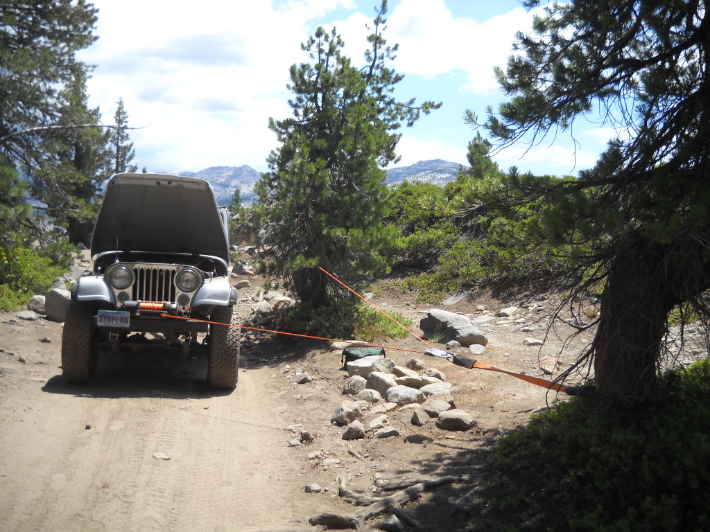
A snatch block off the tree in front for a change in direction. And a second snatch block off the tree at the trailer to actually pull it back over.

A quick run of the winch and it was back to the rubber side down. I was able to get it righted before anyone came along.
Now I had to replace the tailgate before I was to haul gravel the next day. John Briggs helped me out by pulling out and old piece of plywood and 2×6 to get me back in the game for the Richardson Lake Trail project the next day.
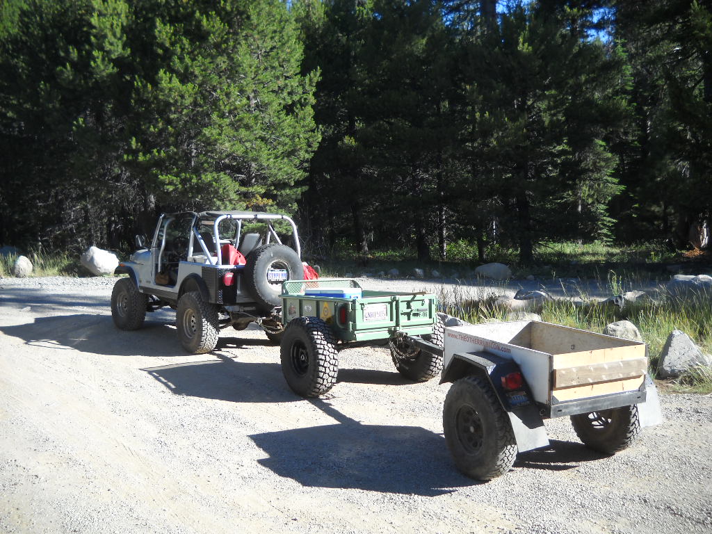
Here I am pulling “doubles”. We had left the trailers at Miller Lake Saturday night. I had run up to Miller early Sunday morning and hauled both back to the staging area for Sunday’s effort. What a noisy run down that trail.
Lesson learned, don’t be in a hurry while towing a trailer on the Rubicon and always carry enough gear for a self recovery.
.
Tahoe NF Motor Vehicle Use Map Released!
Posted: May 26, 2014 Filed under: Access, Travel | Tags: Rubicon, TNF Leave a commentThe Tahoe National Forest (TNF) finally released the latest Motor Vehicle Use Map (MVUM). The forest had been without one for years. It had released and then retracted one previously.
There are ten maps for the four different districts within the Tahoe National Forest. The Rubicon Trail is documented on the Truckee District -south map. Hard copies of these maps are available for free at any of the TNF offices.
The Rubicon is listed as 16N75. Although the Rubicon is listed on and has been given a Forest Service (FS) number, it is still a county right of way. The FS gave it a number as the trail needed to be listed to have the rest of the area trails make sense.
New in this version of the MVUM, Observation Point (16E78) is officially recognized by the FS as being a 163 foot long ‘trail’. Previously undocumented, the turn out has always been allowed by the FS.
Also new are four camp sites:
3013-026 is an elevated area from the Rubicon before the old water hole. The FS documented this ‘road’ as 64 feet long.
3013-24 is at the east end of Miller Lake just past the old water hole. The FS documented this ‘road’ as 29 feet long.
3013-22 is at the west end of Miller Lake and is truly lake front. The FS documented this ‘road’ as 62 feet. It’s more of a turn out.
16E77 is just east of Observation. It’s know as Bear Camp and in the early spring is under six inches of water. It’s 50 feet long or deep, depending on how the FS measured it. It is documented as a ‘trail’.
And for the first new OHV trail in a long time on the TNF, the Long Lake Trail, previously known as TKS-11, is now officially 16E12.
I want to thank the TNF for getting this out to the public. It took a lot of hard work to get this right. The last map was actually printed but because there were so many flaws the forest decided not to release it and to make the needed corrections. It’s worth the wait.
Now get out there and try a trail you’ve never been on before!

